The PSAs involve 6 blocks from the ‘Mezhygirska‘ area, and 8 blocks from the ‘Svichanska‘ area. The region is an established petroleum province, and though considered mature, significant opportunities are believed to exist to drill deeper exploration targets and to test enhanced recovery from existing and untapped hydrocarbon-bearing zones, particularly through the application of modern imaging and drilling technologies.
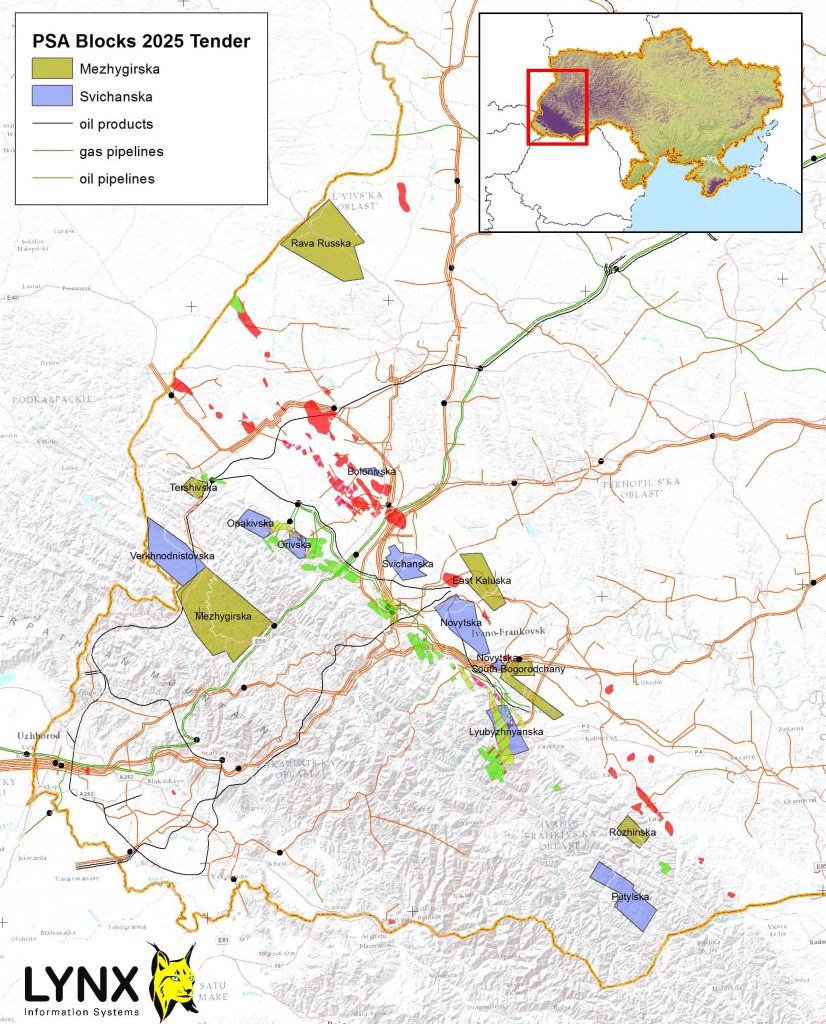
[Download a higher resolution version of the above map from here]
Bidders must pledge to carry out new potential field surveys and 3D seismic acquisition, in addition to drilling at least two exploratory wells during an initial exploration phase (usually 5 years). The minimum investment commitment during the first stage will be determined based on the results of the tender, but must be at least 1 billion UAH (~$24 million USD).
These tenders are part of Ukraine’s strategy to attract foreign investment and reduce dependence on energy imports. The PSA terms typically include a 50-year agreement duration, a cost recovery ceiling of 70%, and a minimum state profit share of 11%.
Lynx Information Systems Ltd is a leading source of knowledge on upstream Oil and Gas matters in Ukraine, and has built a highly organised GIS database of the entire country. To support the country’s efforts to promote new oil and gas investment, we plan to launch a virtual data room (VDR) to showcase available data and opportunies in Western Ukraine. More details to be provided shortly.
]]>Translated into English, the web page reveals the following information for the blocks on offer
The State Geology and Subsoil Service of Ukraine has announced its ninth auction in 2024, for which it offered 11 subsoil plots with deposits of oil, condensate, natural gas, gas from coal deposits, gas from shale formations, free gas and gas dissolved in oil. The total initial cost of all the lots is 739,387,627 hryvnias. Auctions will be held on the Prozorro platform. Real-time sales
“Investment attraction is an unchanging priority in the work of the State Geodesy. We are constantly working on the preparation of new lots for e-auctions. Tenders for the sale of 11 hydrocarbon subsurface plots were announced today. Ten of them are located in the Western oil and gas-bearing region, one in the Eastern region, said the Head of the State Geodesy Roman Opimakh. – Business is ready to invest in subsoil development, and holding electronic auctions is an effective tool that ensures a transparent procedure for granting special permits for use, creates conditions for determining the market price of the lot. The geological industry is the basis of sustainable and effective development of the national economy. Therefore, it is now very important to continue to work full time, even in these difficult times for the country, in order to save jobs and pay taxes.”
10 of the blocks are in the Western (Carpathian) region and 1 block in the Dnepr-Donetsk Eastern region.
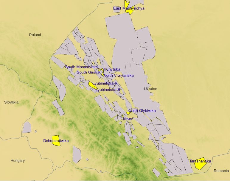
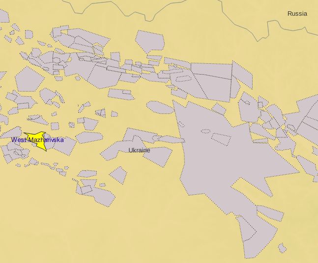
The links to the Prozorro website for the blocks offered in the auction are as follows:
1. South Girska block – https://prozorro.sale/auction/SUE001-UA-20240626-1861
2. Mezhyrechye-East area (to the depth of the limestone top (V0) of the Oleskivsky suite (C1ol)) – https://prozorro.sale/auction/SUE001-UA-20240626-76697
3. Dobrobrativska block, including the Staniv field – https://prozorro.sale/auction/SUE001-UA-20240626-35884
4. South Monastyretske field – https://prozorro.sale/auction/SUE001-UA-20240626-88115
5. North Glybivska block – https://prozorro.sale/auction/SUE001-UA-20240626-19712
6. North-Vivnyanska block – https://prozorro.sale/auction/SUE001-UA-20240626-78713
7. West-Mazharivska block, including Gulakivska block – https://prozorro.sale/auction/SUE001-UA-20240626-93429
8. Tarashanska block – https://prozorro.sale/auction/SUE001-UA-20240626-01149
9. Lyubinetska block (from a depth of 4,000 m), excluding the intersection with Dovgolutska (in the absolute depth range 4,700 to 5,800 m) – https://prozorro.sale/auction/SUE001-UA-20240626-92124
10. Krynytska block (excluding the section of the intersection with the Bilche-Volitska-Uhersky gas storage field (horizon XVI, in the depth range of 800-1130 m)) – https://prozorro.sale/auction/SUE001-UA-20240626-19756/
11. Kitvan block – https://prozorro.sale/auction/SUE001-UA-20240626-89116/
]]>Scanned and digitized well log data can be previewed and purchased from the Nigeria Online Wells Portal at https://nigeriaoilwelldata.com, sign-up and data preview is free.
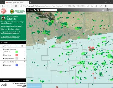
The Nigeria Online Wells Portal is hosted by Lynx, in partnership with Bilview Energy Ltd and the NUPRC.
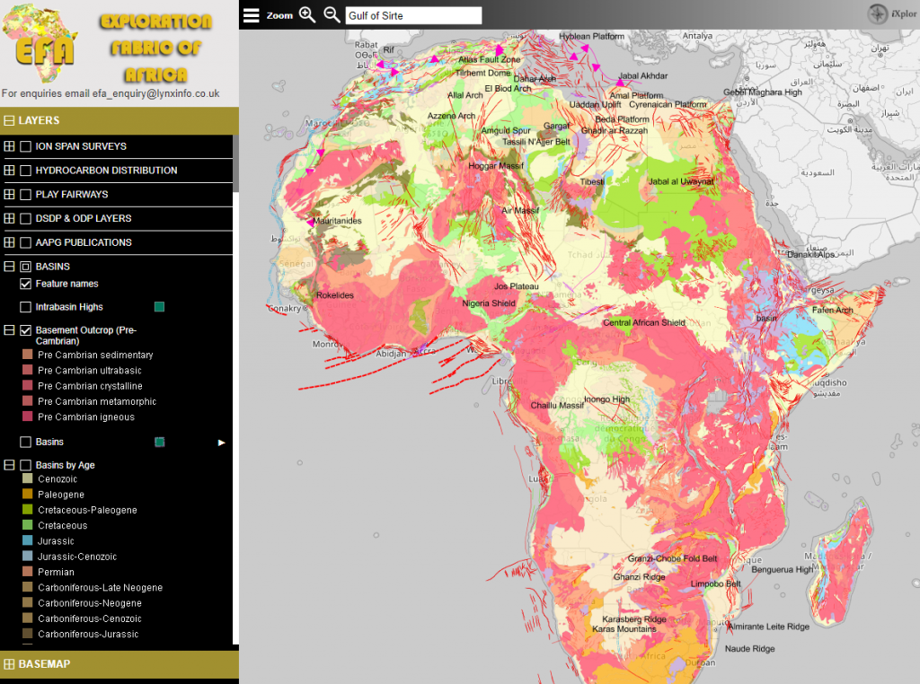
]]>The EFA was initiated in 2010 as a memorial to the life and work of Dr. Ed Purdy, an acclaimed geologist who built a reputation as a carbonates specialist during a long career both with Exxon and as an independent consultant. The objectives of the EFA were to update a set of pioneering maps on Africa that Dr. Purdy authored and published in 1989. These were masterpieces of hand-crafted work, combining geology, tectonics, basin outlines, hydrocarbon discoveries and extensive use of annotation and color coding to highlight the known working plays across the continent. The EFA project entailed the digitization and enhancement of these maps as a multiplatform GIS, and was carried out on a pro-bono basis by a group of former friends and colleagues of Dr. Purdy, led by Peter Wigley.
The EFA project is now a multi-platform web-based GIS, and the team will be happy to demonstrate and discuss how it has evolved, plans for the future, and donations to Africa-based charities and academic institutions from the proceeds of the project.
The VDR is now open at https://ttshallowwaterbid2023.com/
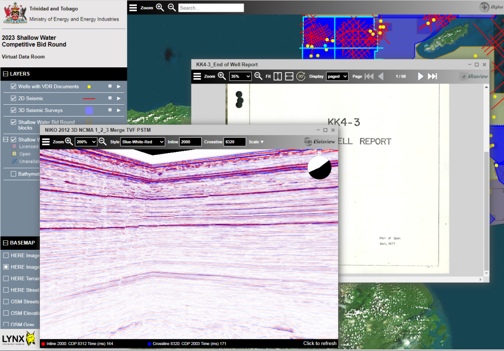
26 blocks are on offer in this bid round, and the VDR includes extensive 3D seismic data, along with 2D seismic and logs and reports from 96 wells for recconnaisance and prospectivity evaluation.
All explorers and potential investors are invited to sign up for an account and login at https://ttshallowwaterbid2023.com
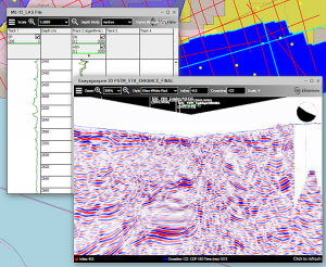
]]>Well data from surrounding blocks is available for purchase from the Nigeria Online Wells Portal at nigeriaoilwelldata.com to tie with the seismic data obtainable from PGS and TGS
]]>
Proudly hosted by Lynx
]]>
Preview and purchase scanned log images and digital data by browsing an interactive map of over 6000 onshore and offshore wells in the Niger Delta.
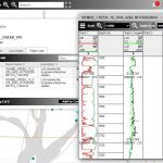
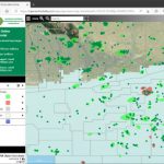
This new Portal provides an exciting and convenient new way to access well data, searchable by name, field and block.
Create a free account at nigeriaoilwelldata.com and start exploring!
]]>The iXplor Viewers provide a secure mechanism for viewing of confidential, sensitive and valuable digital data by preventing direct access to the digital source data – the end user will only ever see a set of small image tiles which are reassembled in the browser for viewing. As an additional measure, a repeating watermark for all imagery can also be added for all displays.
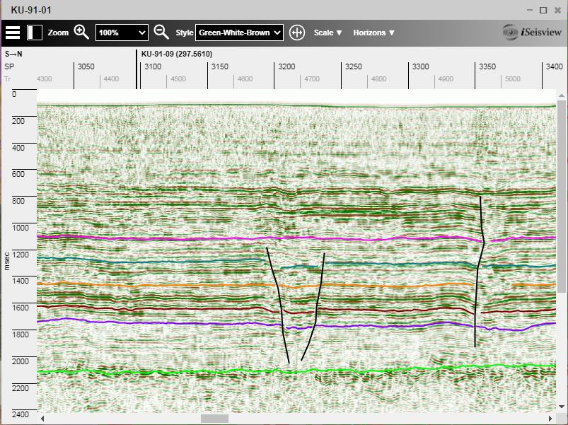
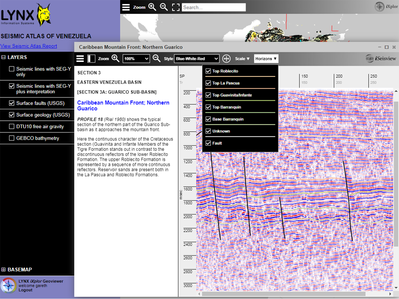
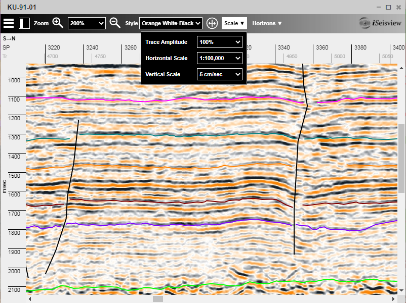
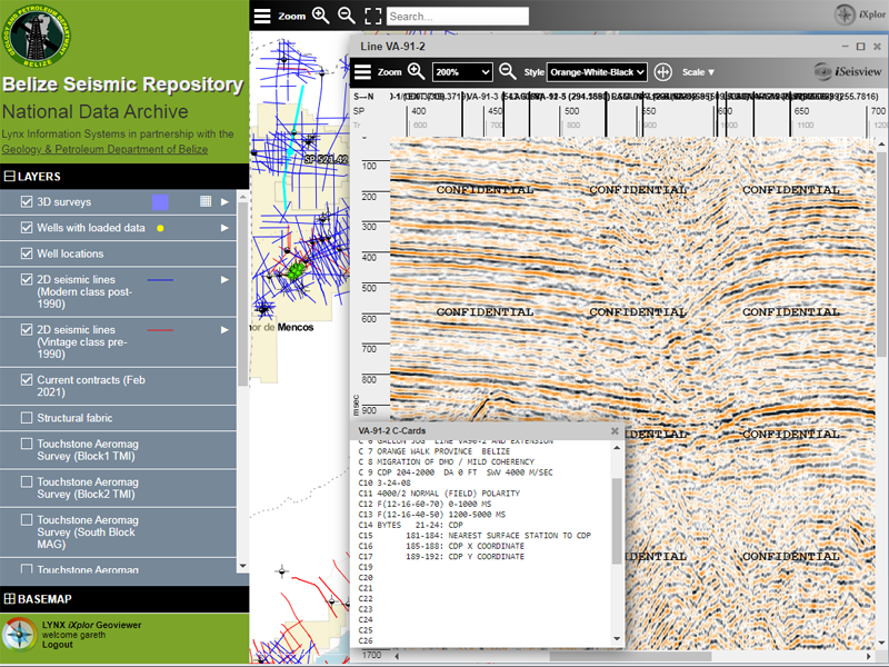
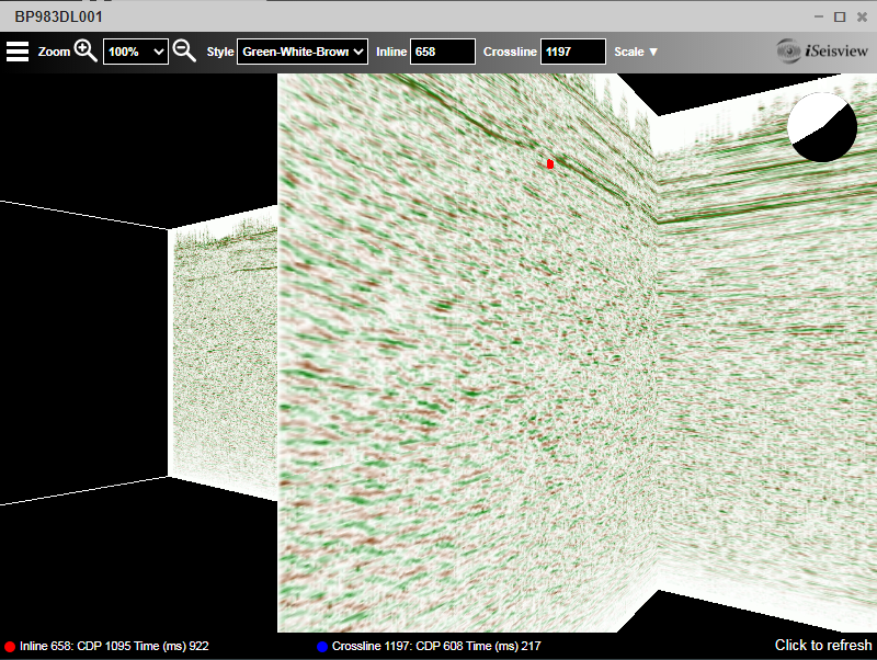
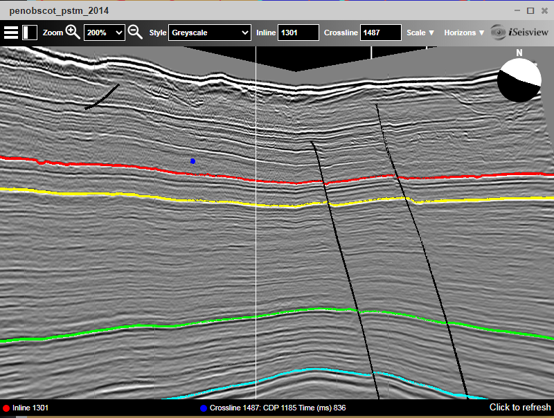
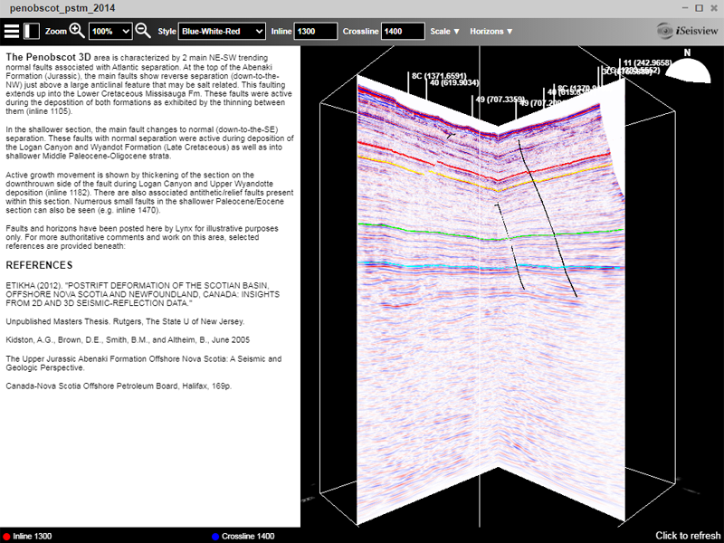
iSeisview Features
- iSeisview works with industry-standard SEG-Y for 2D lines and 3D volumes
- End-user can interactively choose display colors, vertical and horizontal scales and amplitude scales
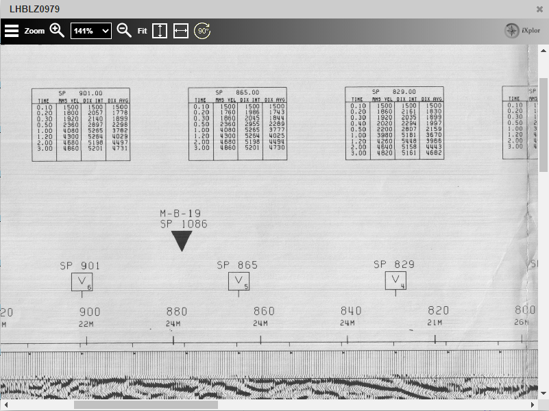
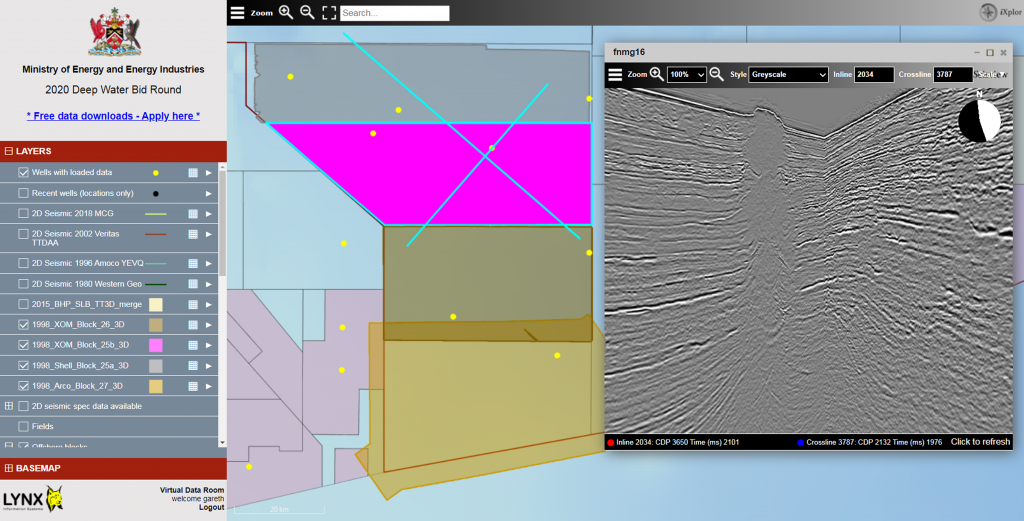
- 2D profile viewer shows a standard two-way time display of the seismic trace data
- 3D survey viewer shows an inline and crossline profile in an interactive 3D wireframe viewer
- Line, survey and well intersections are posted for each seismic profile
- Horizon and fault picks and surfaces can be overlaid on the seismic display
- C-Card Header display
- Integration with the Lynx iXplor Geoviewer for standalone web mapping applications
- Optional watermarking


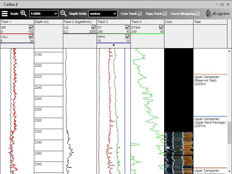
iLogview Features
- iLogview works with industry-standard LAS format
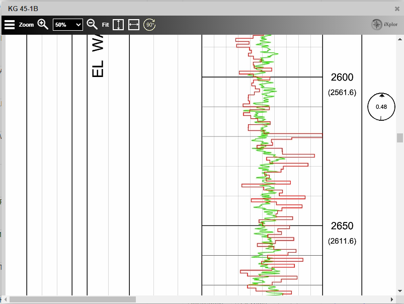
- End-users can interactively turn individual curves on and off, set curve display colors and limits, depth units and vertical scale
- Switch depth units between metres and feet
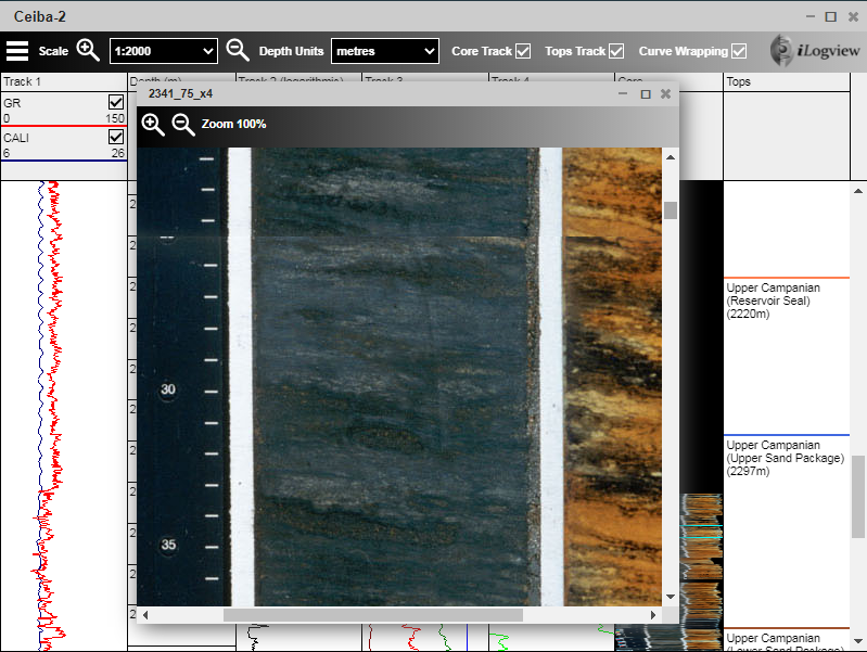
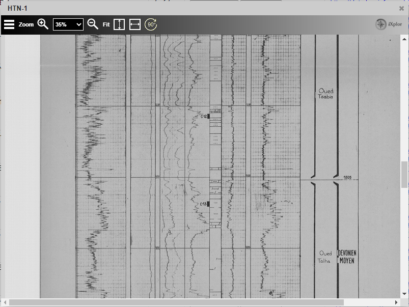
- Formation tops and core photos for the borehole can be posted in the viewer alongside the curve display
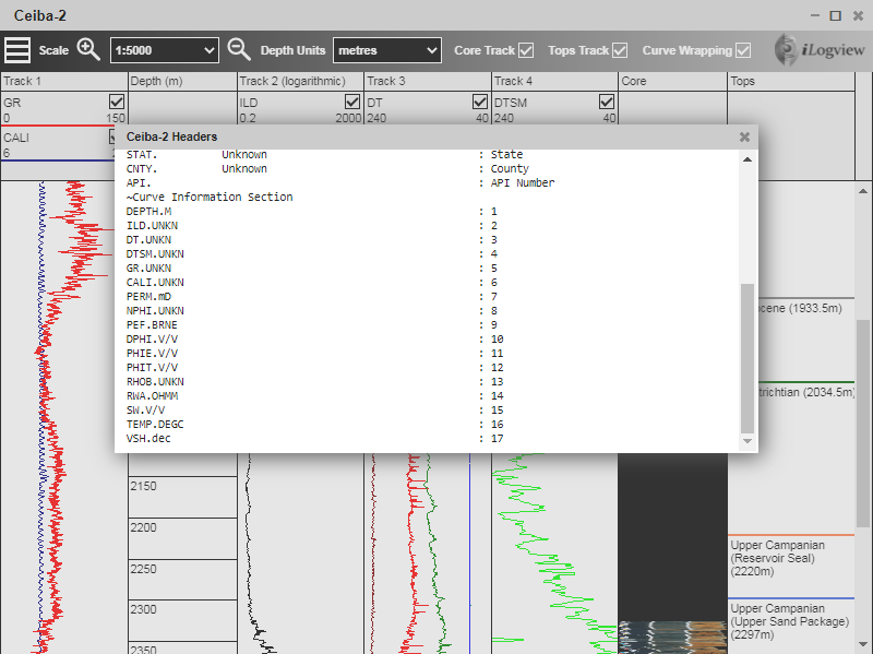
- Log header display
- Integration with the Lynx iXplor Geoviewer for standalone web mapping applications
- Optional watermarking

iRasview Features
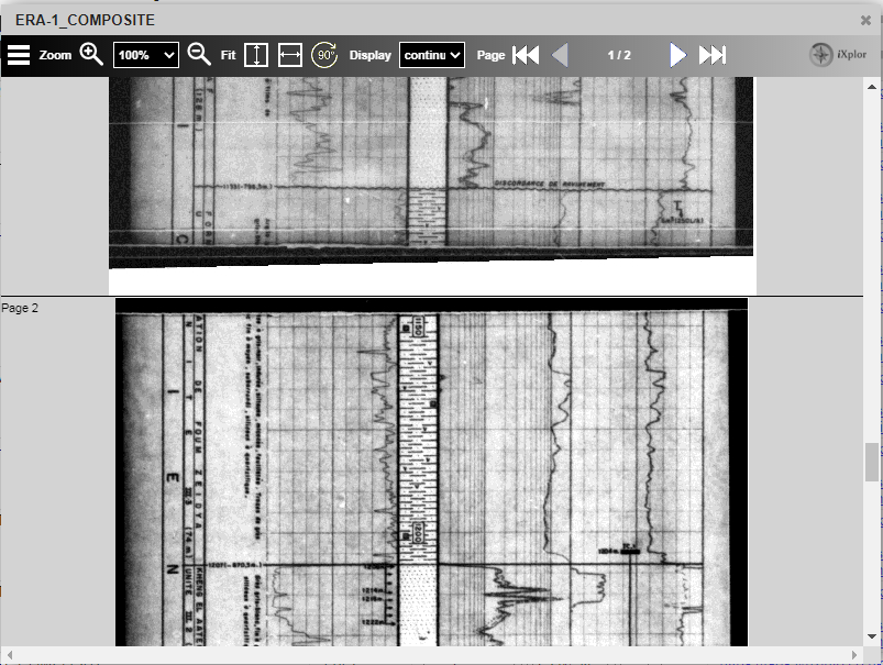
- iRasview works with images in PDF, TIFF, JPEG or PNG format; multi-page images can be automatically concatenated
- Instant display of high-resolution images, with no scrolling lag
- Optional watermarking

iXplor Viewer Technology
The iXplor Web Viewers can be deployed on a Tomcat Java application server running on Windows Server.
All the viewers require server-side configuration by an administrator to define the set (or sets) of digital source files which are available for viewing Each dataset includes a set of files on disk and an associated metadata table (in either a PostgreSQL, Microsoft SQL Server or Oracle database, or as a shapefile or CSV files) including geospatial information (if available) for determining locations and intersections. The datasets may be updated dynamically via the admin GUI or REST interface.
The iXplor web viewers are available either as an integrated part of the Lynx iXplor CMS platform for national data archives, as server-side components for an existing E&P web mapping platform, or as part of a hosted Virtual Data Room from Lynx.
If you would like to know more about the Lynx iXplor Web Viewers, please ask us for more details.
]]>]]>Loaded perfectly and looked really good – tied well to the old lines and gave us data where we had none before
Proudly hosted by Lynx

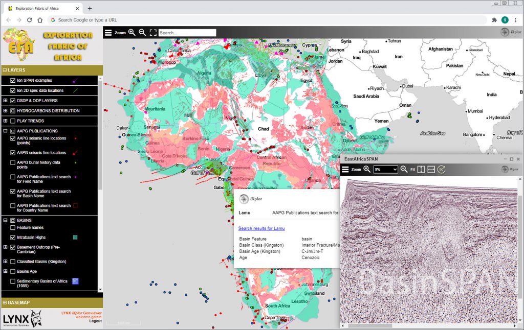
Lynx were pleased to submit a poster presentation for the second session held on 8th October, entitled ‘“EFA Online” – A GIS Portal for Africa Explorationists‘.
This 5-minute presentation provides a demonstration of the Exploration Fabric of Africa (EFA) project, an enormously successful collaborative effort to gather and publish continent-wide maps charting broad knowledge of African exploration results set against a framework of regional geology, tectonics and gravity-magnetics data. Many of these map layers have been recently updated and are now available for viewing via an interactive online web map.
A recorded video of the presentation can be viewed here.
Access to EFA Online is complimentary for all 2020 Africa attendees – please apply here for access.