Advertise with Googlier.comAlan Kimber Outdoors
https://www.alankimber.com/
Welcome to Alan Kimber's BlogWed, 14 Oct 2026 14:46:32 +0000en-GB
hourly
1 https://www.alankimber.com/wp-content/uploads/2026/10/cropped-AKO-favicon-40x40-1-32x32.pngAlan Kimber Outdoors
https://www.alankimber.com/
3232Paddling around Islay
https://www.alankimber.com/2022/10/paddling-around-islay/
Thu, 27 Oct 2022 15:51:10 +0000https://www.alankimber.com/?p=11150Sea kayaking during the first week in May (2022) with good friends. We took five days to circumnavigate Islay, one of many […]
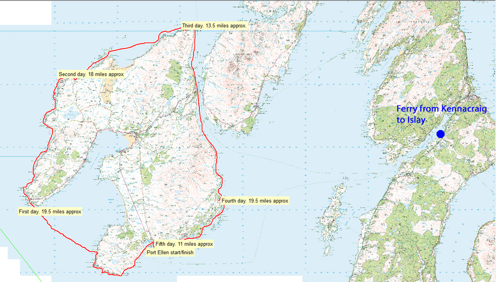
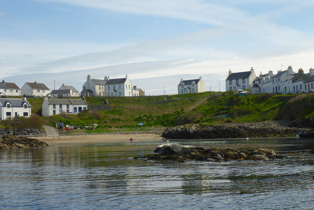
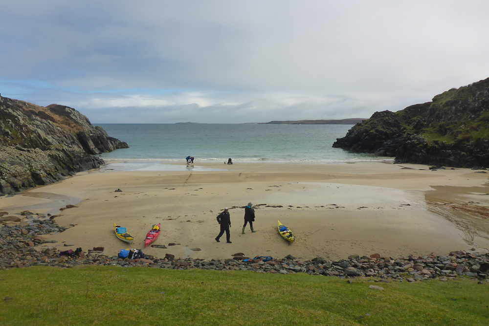
]]>Sea kayaking during the first week in May (2022) with good friends. We took five days to circumnavigate Islay, one of many islands that make up the Inner Hebrides As the southernmost of this chain, the island, like most of the others has a coastline that is rugged, pitted with high cliffs, rocky shorelines and few safe landing options, scattered amongst havens of golden sand. Tides are strong and often effected by the open Atlantic swell to the west. Islands do offer plenty of options though if the weather turns foul. They always have a sheltered side and flexibilty to avoid the worst of the conditions. We chose to take vehicles over in case of bad weather shuttles but it’s a simple matter to trolley the boats on as a foot passenger.
Good planning, looking at the weather forecast, wind direction and tidal flow is crucial for safety and success. Adding all of these factors together at the time, we decided on a clockwise journey. Occasionally a late start, whilst at times we were ‘up with the Lark’ taking advantage of tidal direction. Fortunately we had reasonable weather and a succesful journey.
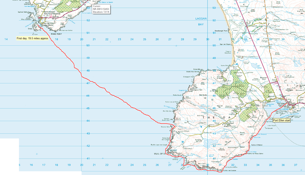
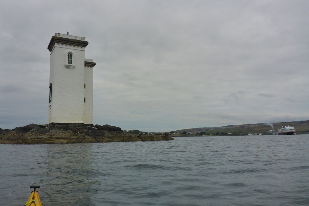
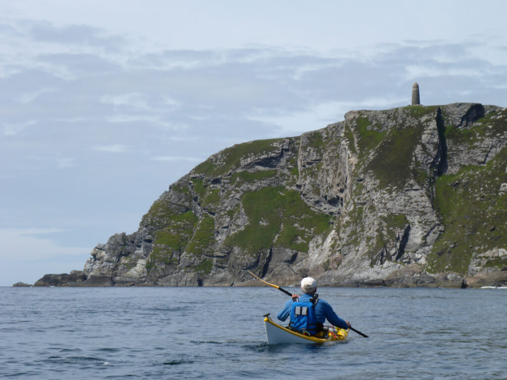
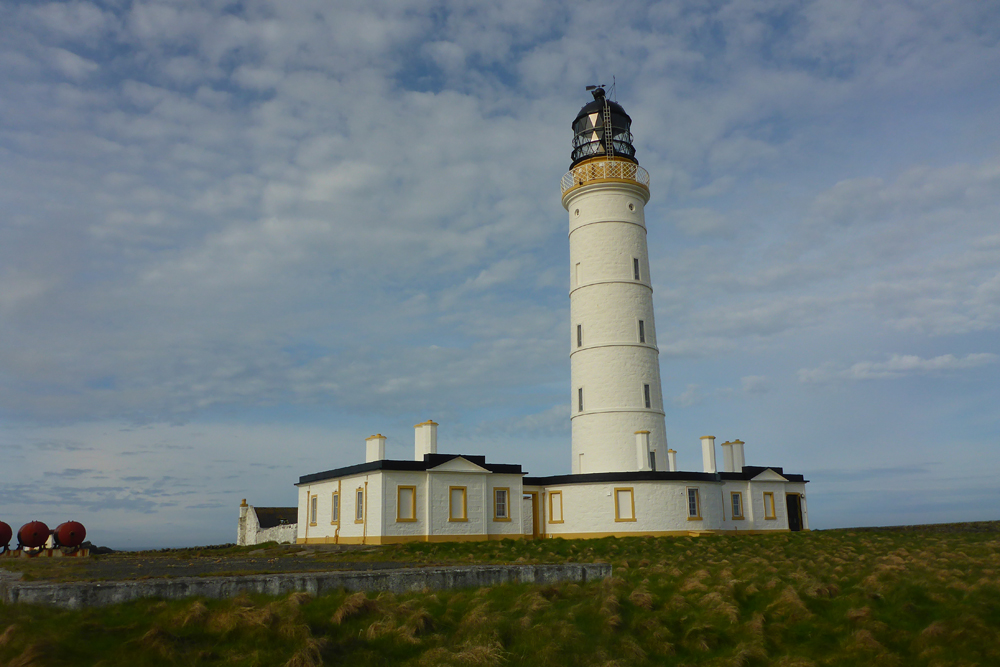
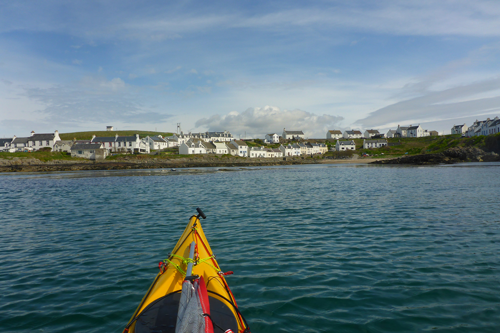
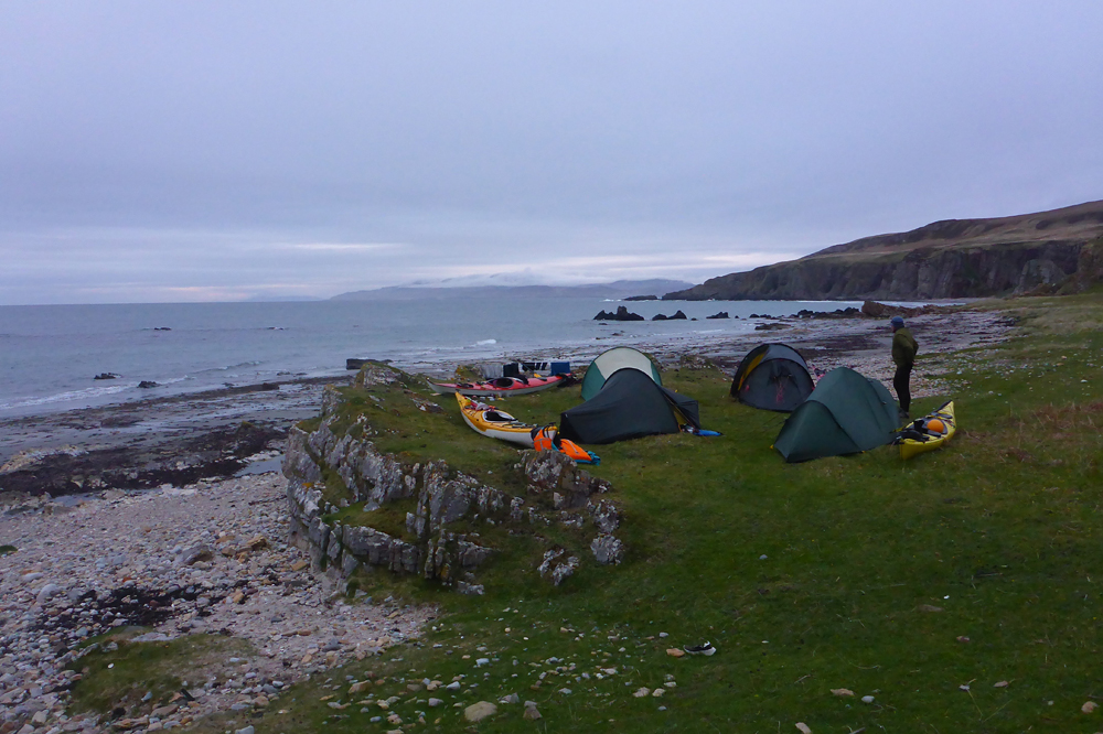
Carraig Fhada Lighthouse is the first lighthouse to look out for close to the start at Port Ellen. The ‘tidal gate’ around the Mull of Oa needs careful consideration. High cliffs guard it’s shoreline, where it would be hazardous to land. The American monument sits high atop the west end of the Mull with sobering memories of a maritime war tragedy, 1918. On another visit the tide ebbing out of Loch Indaal had been almost impossible to beat, so be careful of timing your arrival to coincide with a N.W tidal stream. A good app for tidal calculations is Absolute Tides Our first day was a long one (20 miles) with thankfully limited wind. We camped on Orsay close to the Rhinns of Islay Lighthouse opposite Portnahaven.
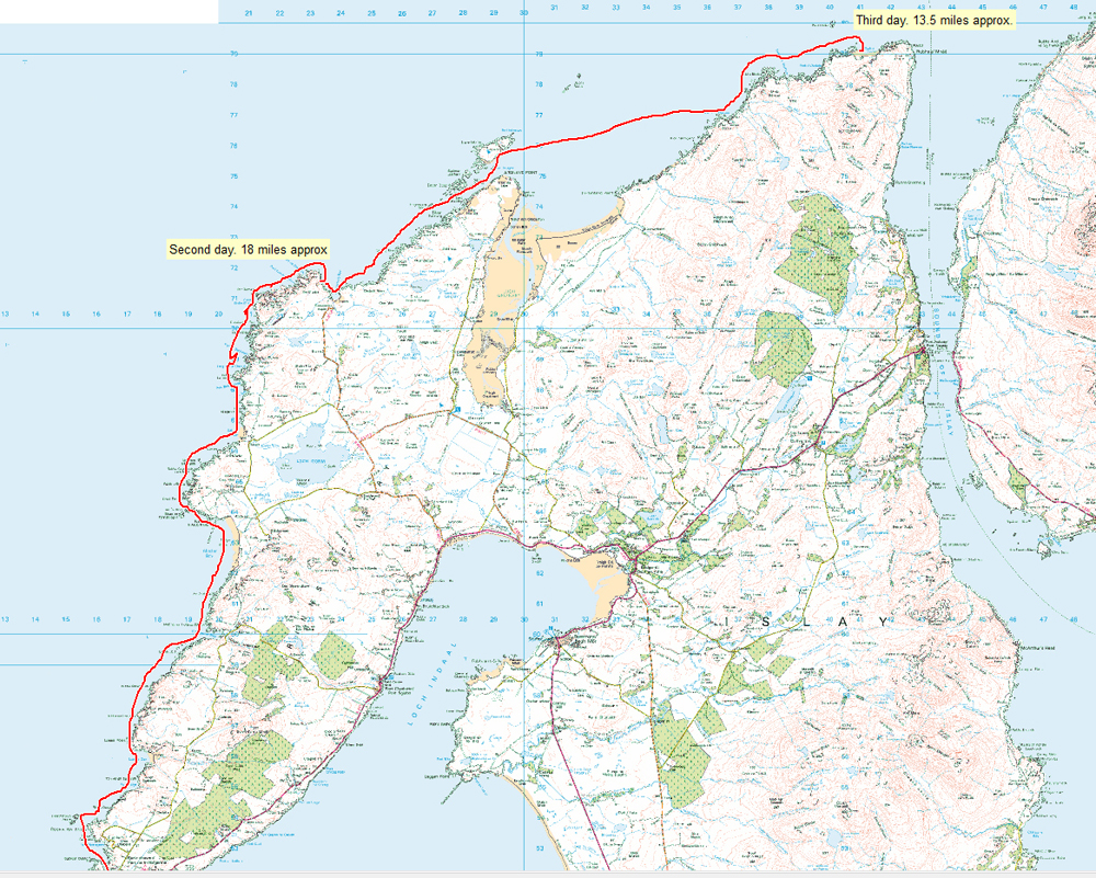
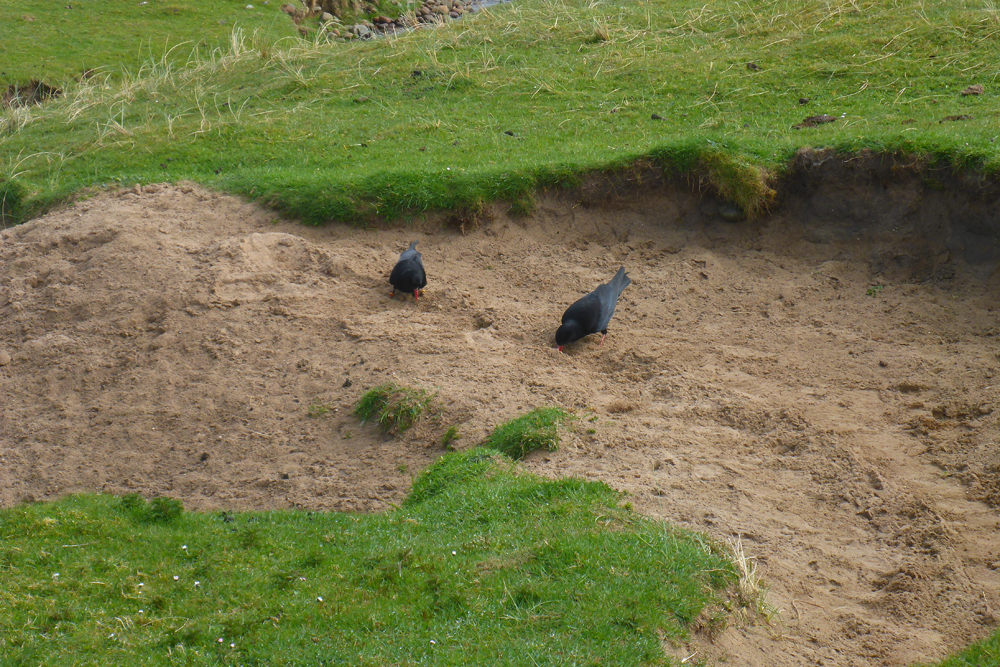
Frenchman’s Rocks has narrow channels surrounding them which had thwarted a previous visit for me and a friend when an Atlantic gale arrived. Reflected waves from the rocky shoreline and a strong tidal stream pushing against the gale were ingrediants for us to avoid on that day. This time the weather was much more benign and allowed us to pass easily and turn towards the N.W. facing coast. Just before Frenchman’s Rock watch out for the first wave energy generator to be built anywhere in the world. It has now been de-commissioned. Our next overnight stop was near Sanaigmore (18 miles). Here we met a farmer feeding Choughs. Interestingly he was not worried too much if Eagles bothered his sheep. ..” What would you prefer a Sheep or an Eagle”?…The coastline on this second day has limited spots for landing and is open to the west and Atlantic swells. There are long stretches of rocky headlands, making landing a big problem.
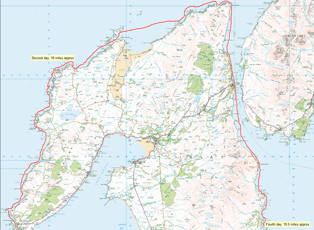
A target for the third day was Ruvall Lighthouse or nearby. On our way we passed Nave Island which had been a possible overnight stop but the weather was not looking great and we pushed on, after negotiating a number of off-lying skerries, south-west of the island. We found a sheltered north-facing campsite a mile or so west of the lighthouse.
Four days and an early start led us to the relative shelter of the Sound of Islay. The ebb tide was favourable but a niggling headwind was not and we were happy to arrive at Port Askaig for a late breakfast at the hotel. The sound at this point is only half a mile wide and the south-going tidal flow sent us on our way towards McArthur’s Head Lighthouse We camped at Aros Bay.
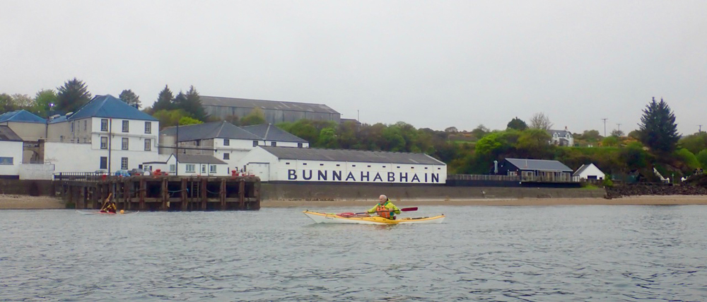
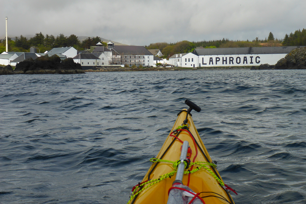
The final day arrived with good weather and countless skerries to navigate, close inshore towards Port Ellen. Off the starboard beam were three of the nine Islay distilleries advertising Ardbeg, Lagavulin and Laphroiag. Just one of many good reasons to visit.
]]>North Face annual album (3)
https://www.alankimber.com/2022/10/north-face-annual-album-2/
Thu, 27 Oct 2022 15:00:40 +0000https://www.alankimber.com/?p=11270A yearly view of the north face. Third album, started April 16th, 2021
]]>North Face annual album (2)
https://www.alankimber.com/2022/10/north-face-annual-album/
Tue, 18 Oct 2022 11:24:37 +0000https://www.alankimber.com/?p=11262A yearly view of the north face. Second album, started April 16th, 2020
]]>Mull of Galloway to Dunnet Head
https://www.alankimber.com/2021/09/mull-of-galloway-to-dunnet-head/
https://www.alankimber.com/2021/09/mull-of-galloway-to-dunnet-head/#commentsSat, 04 Sep 2021 12:26:00 +0000https://www.alankimber.com/?p=10821Cycling in Scotland. Farthest south to farthest north on the Scottish mainland. Over two weeks and 557 miles, traversing an inspiring and […]
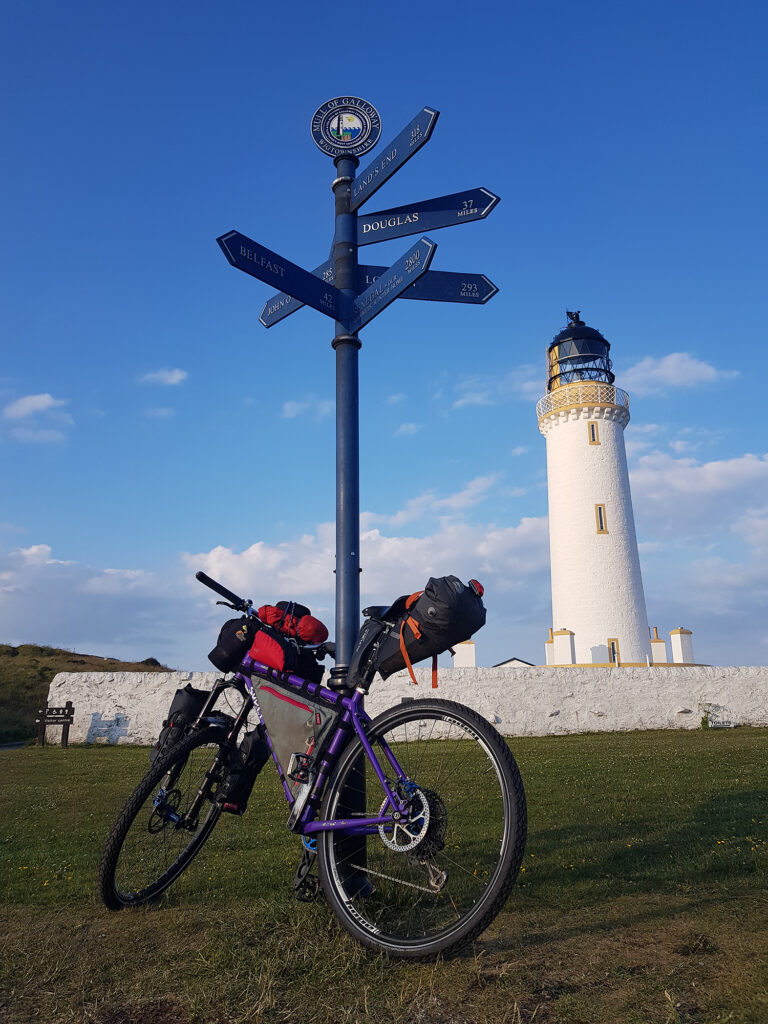
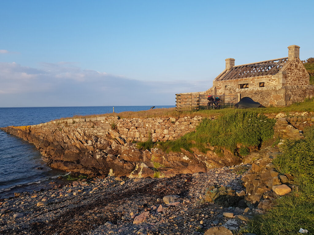
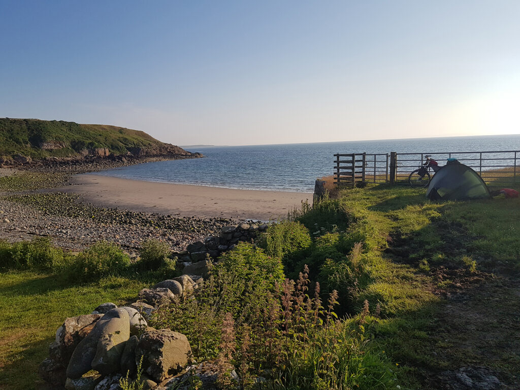
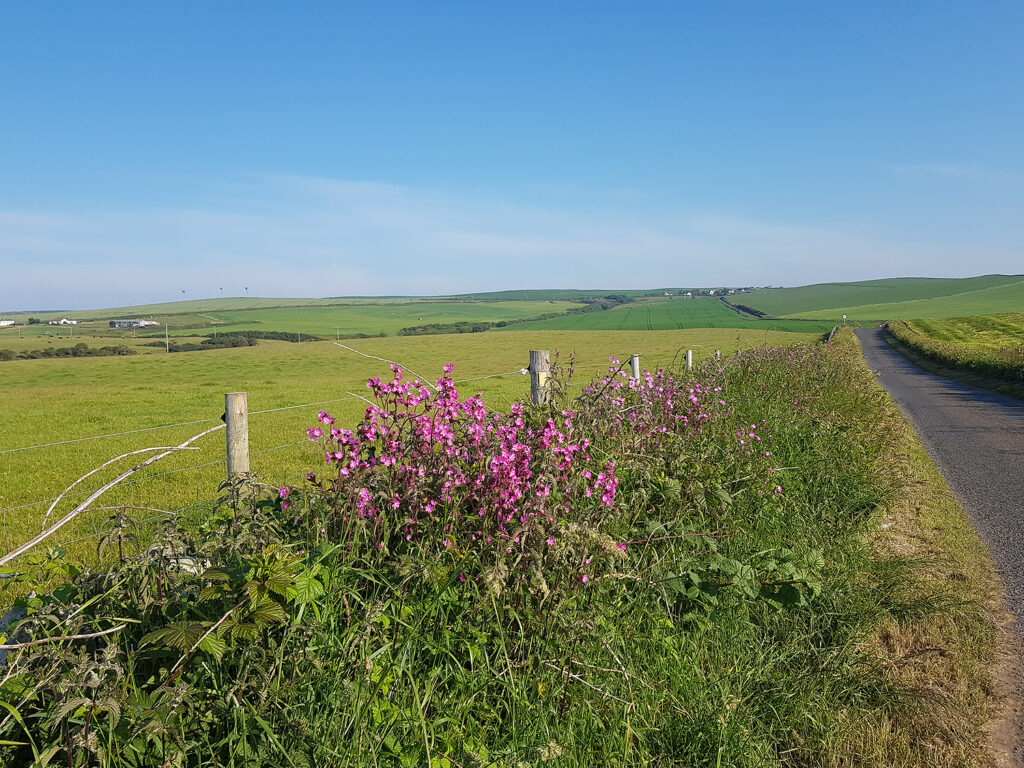
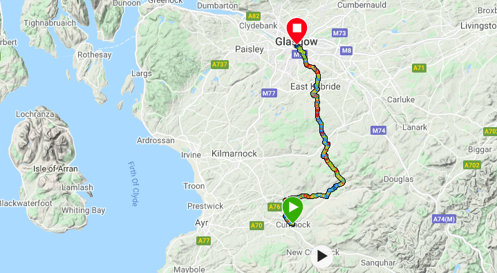
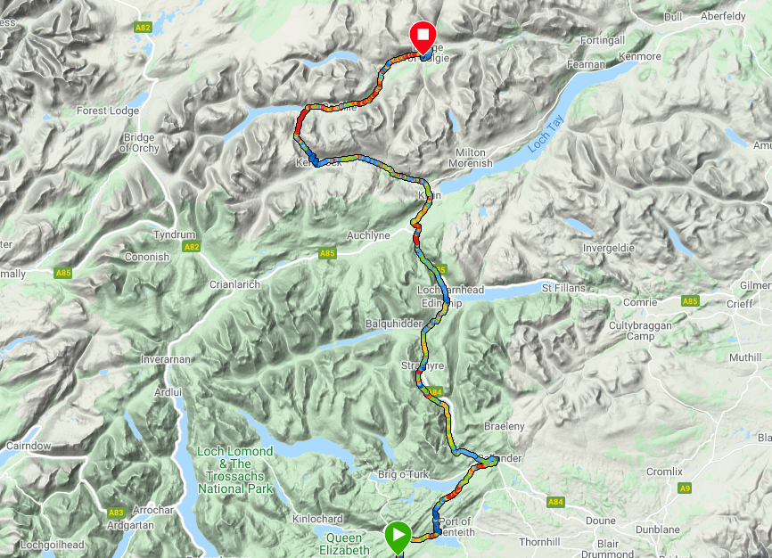
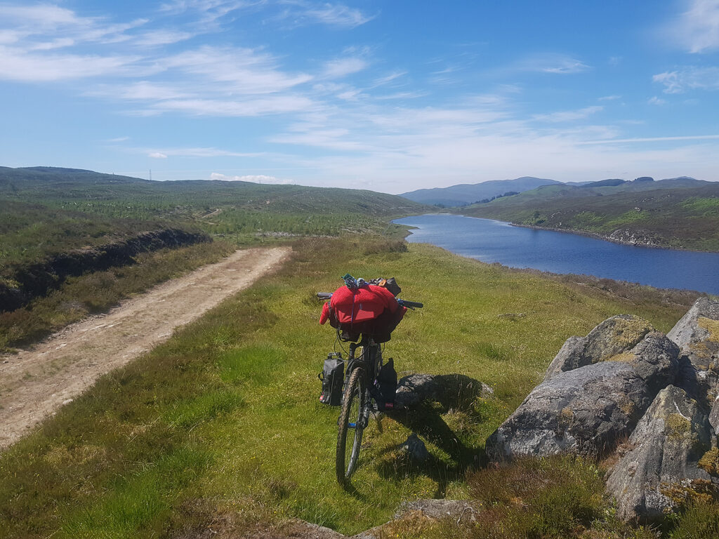
]]>Cycling in Scotland. Farthest south to farthest north on the Scottish mainland. Over two weeks and 557 miles, traversing an inspiring and varied landscape of physical, economic, social proportions, old and new. A brief glimpse of what I discovered. From my home in Fort William, a train to Glasgow and on to Stranraer, plus a taxi to the lighthouse on the Mull of Galloway. I had cycled this section from the lighthouse to Stranraer previously and needed a relaxing start. Good weather and a secluded camp near the beach of East Tarbert bay. The trip can be split into sections at various places, using the railway for return to a vehicle.
First day Garmin route map From the Mull of Galloway lighthouse on a clear day it’s possible to see Wales, Northern Ireland, the Isle of Man and England. Some locals also mention seeing heaven from the Mull of Galloway! The clarity is normally associated with a dry cold wind from a northern quadrant. This slice of rich agricultural land is one of two narrow slots that force the Irish Sea tidal currents to gain speed. The other, narrower and more northern tidal alleyway is south of the Mull of Kintyre. It’s even being considered for creating energy from tidal turbines.
An early start and breakfast presented itself at Ardwell Marine, mobile kitchen. Fortified by two bacon/egg rolls and mugs of tea, the first day was looking good and sunny.
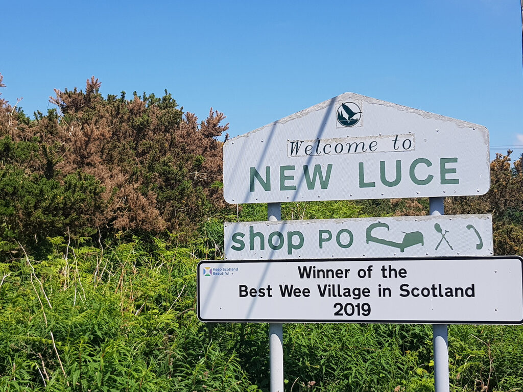
From Ardwell, quiet country roads lead to a careful crossing of the busy A75. Onward for the rest of the day on quiet lanes, through more farmland. Don’t be fooled by the promise of shops and accommodation in New Luce. The pub was being fully refurbished, the Post Office shop shuts early and the local ‘postie’ knew nothing of a campsite marked on the O.S. map! The village is very pretty though, I carried on.
The hot weather had reduced any streams to a languid trickle. My water bottles were drying up and the land was full of sheep and cattle. Not happy with filling up ‘al fresco’ I knocked up a farmer for fresh water. After questioning why not drink from streams tainted with pure sheep’s piss he sent me packing and fully hydrated. He also recommended watching for the Beehive Bothy which is where I spent a peaceful night, away from the midges. This simple shelter is on the Southern Upland Way hiking trail
Approximate distances/terrain: Minor C class roads 27 miles – Minor B class roads 8 miles – Major A class roads 1.5 miles – Gravel trails 6 miles
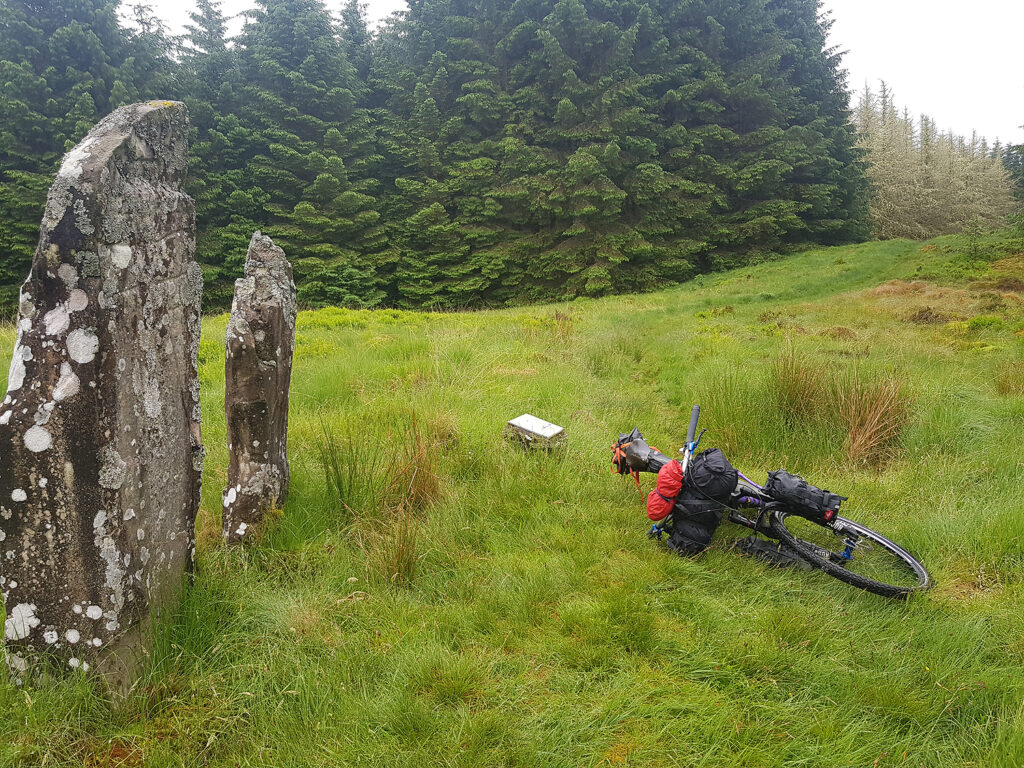
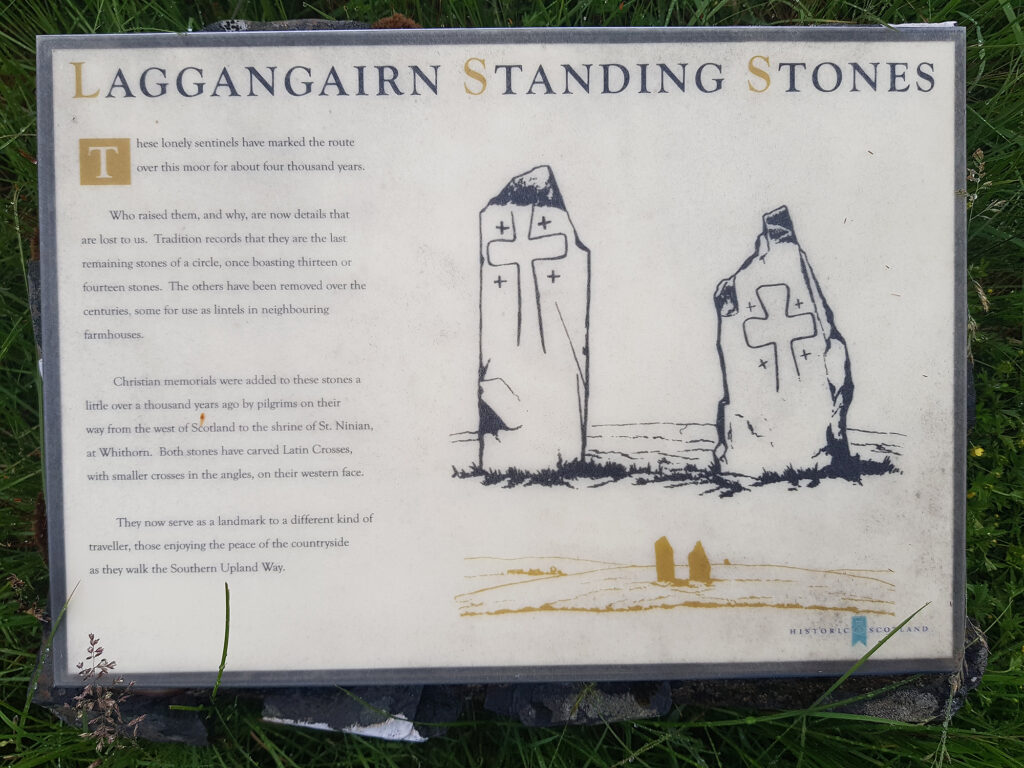
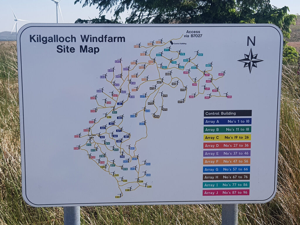
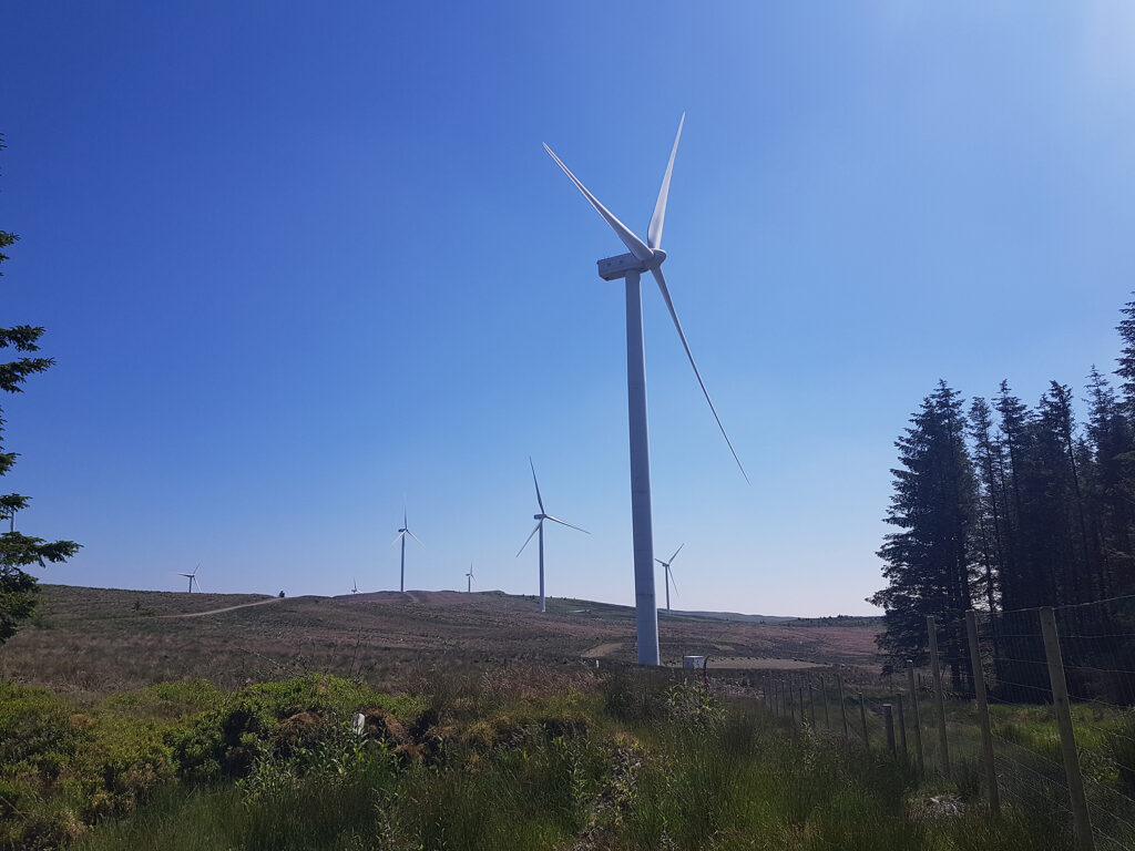
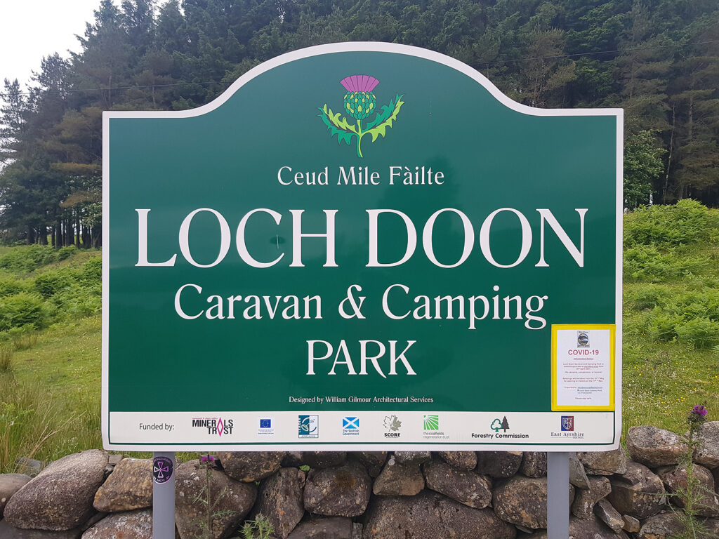
Day two Garmin route map into the wind farms. Love them or hate them, they supply gravel routes for cyclists. Careful map use is necessary to stay on track without following a dead end to the foot of these massive pillars of steel and whirling blades. None of the Killgalioch turbines had found their way onto my digital mapping but the original forest trails were clearly shown. Soon after leaving the bothy I passed the Laggangairn Stones which predate wind farms by thousands of years. Today was a good deal off-road gravel and minor back roads, plus NCR 7, with only a short distance on the A714. Loch Doon Caravan and Camping site was a welcoming place to spend the night. The manager allowed me to use the office to watch some Euro 2020 football!
Approximate distances/terrain: Minor C class roads 15 miles – Major A class roads 3 miles – Gravel trails 22 miles
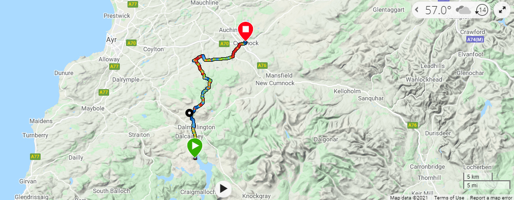
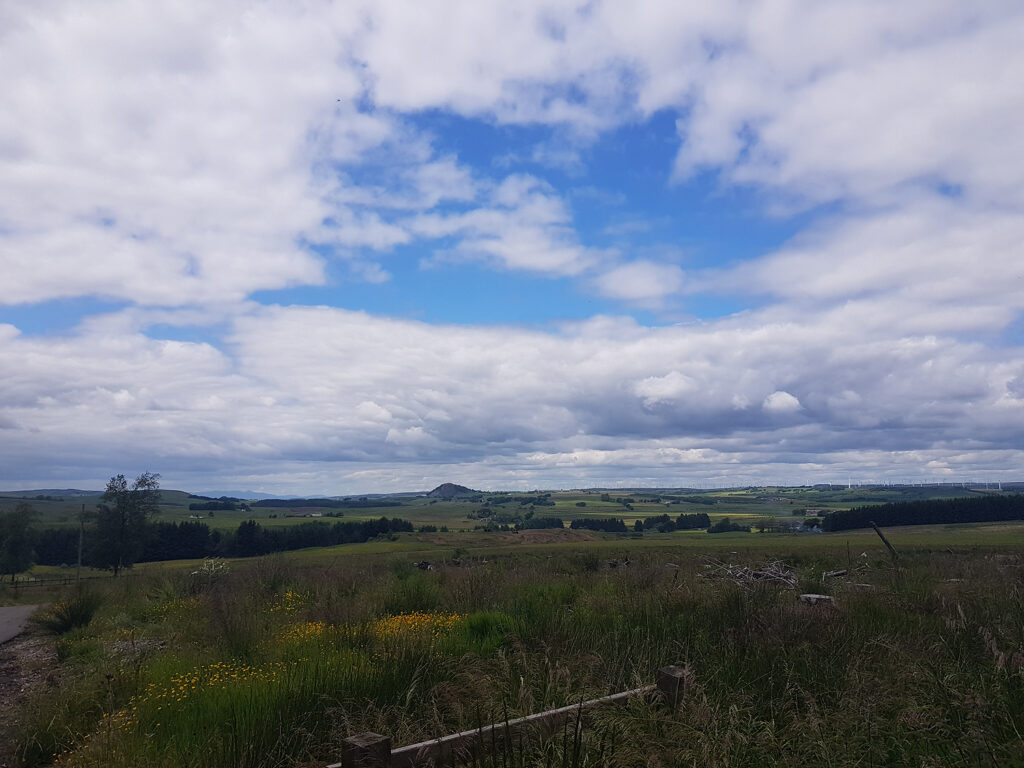
Day three Garmin route map Shorter, due to some rain in the afternoon. This section offers the first chance on the route taken for some restocking at Dalmellington From Loch Doon to this pretty village is very scenic but quickly changes on the tough ascent into the old coal workings. The last three hundred years saw the high land to the north of the village developed for deep coal mining and opencast pits. My journey traversed this high (375m) and desolate, industrial countryside of slagheaps, towards Cumnock. Evidence of restoration is clear but it will take time to return this place to acceptable nature. Forestery and wind farms are evident, but not all the heaps can offer strong foundations for turbines. Hillwalking is popular through this historical industrial landscape. A bike is better!
A lack of concentration at a wet crossroads, took me out onto the B7046 (all easily avoided). I had intended to go via the headwaters of the River Nith on gravel and quiet backroads to Cumnock (see map photo). Rushing to avoid incoming rain, took ‘my eye off the ball’. My debit card came in handy for a night in a comfortable bed.
Approximate distances/terrain: Minor C class roads 2 miles – Minor B class roads 7 miles – Gravel trails 12 miles
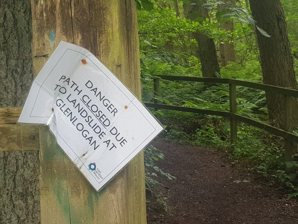
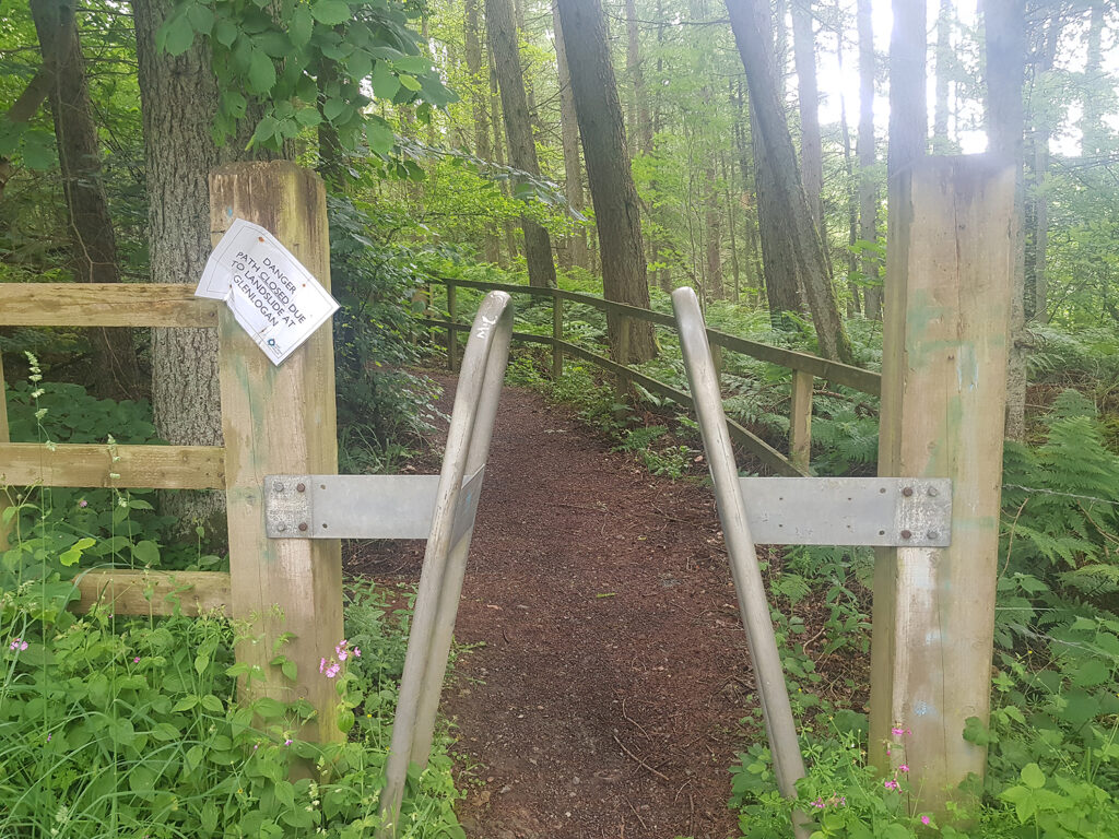
Day four Garmin route map A transition towards an urban city landscape and memories of Galloway and South Ayrshire A dismantled rail line heads north-east towards Muirkirk but has no detail of it as a cycle route. I had hoped to follow the River Ayr Way (RAW) from Sorn and onwards to Glenbuck. This mining village of only 1000 people produced 50 professional footballers and one of the best managers (Bill Shankly) ever to come out of Scotland. Any chance of exploring the RAW was scuppered due to a landslide. A short (5.5 miles) on the busy B743, followed by quiet backroads and a further 7 miles as far as Dungavel Immigration Removal Centre on the B743, Then quieter lanes towards East Kilbride.
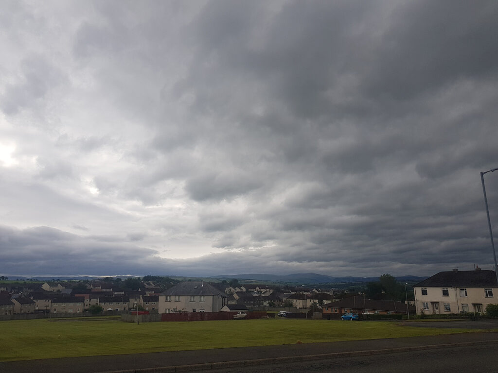
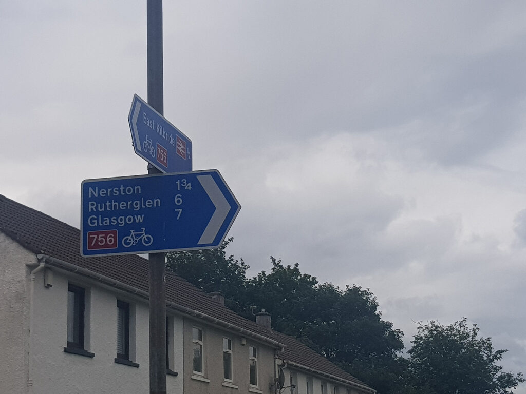
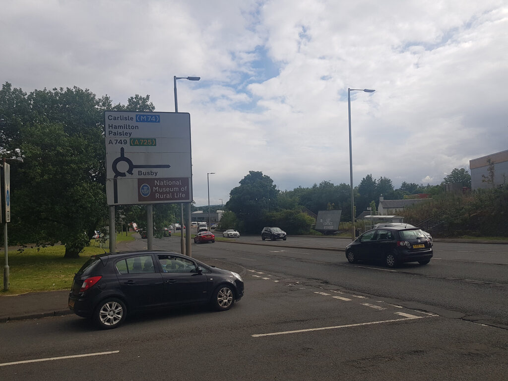
Traversing East Kilbride to Glasgow is busy but well signed for NCR 756. Breasting the hill north of East Kilbride, alongside of the very busy A749 duel carriageway, the view towards Glasgow and the Clyde made a pleasant change. Beyond that the Campsie Fells and Highland Fault Line.
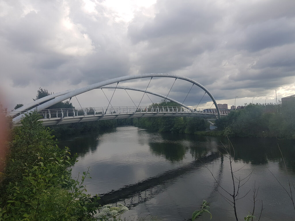
Even though you will not be very far from speeding vehicles, enjoy sliding down the bike trail from a high point in East Kilbride to cross the River Clyde at the Dalmarnock Smart Bridge. Now follow the good bike path into the city. A debit card at a Holiday Inn Express on Stockwell St served its purpose for the night. They had a locked cupboard to store my bike. Very friendly.
Approximate distances/terrain: Minor C class roads 19 miles – Minor B class roads 16 miles – Major A class roads 1 miles – NCR 756/75 8miles
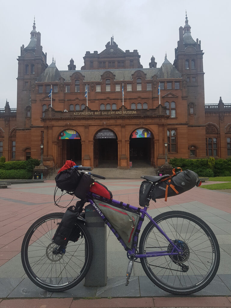
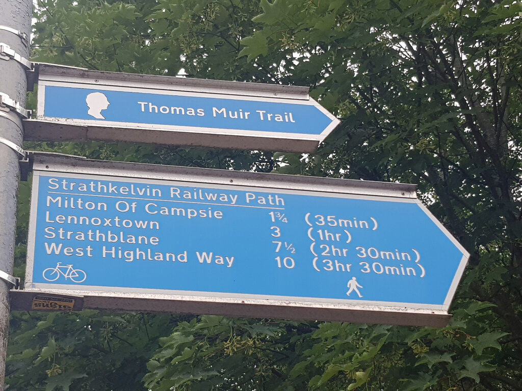
Day five Garmin route map Glasgow bike trails are good. Well signed and generally well maintained, avoiding busy roads. From the Kelvin art gallery and museum the Kelvin walkway leads to Maryhill locks on the Forth/Clyde canal. After a coffee at the Whitehouse Cafe I headed east along the canal towards Kirkintilloch and the Thomas Muir heritage trail, shared with the Strathkelvin Railway path (north) This leads pleasantly to Lennoxtown, off road from Glasgow, so far.
All warmed up with easy cycling in the bag, now the fun (?) begins, with the hardest climb so far on the trip, all in the saddle! The Crow Road ascends relentlessly for approximately 260m. A recently fitted smaller chain ring helped lessen the effort, marginally! Top up the calories at the start of the climb. Only one rest stop at the halfway viewpoint and then headlong down towards Endrick Water and Fintry.
With the Campsie Fells and Fintry hills leaving astern the rest of the trip to the Lake of Menteith is pleasant countryside. A quick ‘flit’ along the busy A81 towards Aberfoyle and Cobleland campsite plus a meal and more Euro 2020 football at the Rob Roy Hotel
Approximate distances/terrain: Minor C class roads 2 miles – Minor B class roads 17 miles – Major A class roads 4 miles – NCR 756/5/4 16 miles
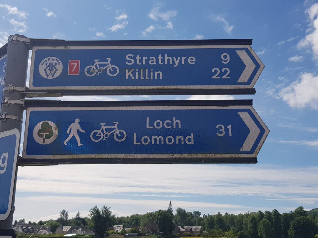
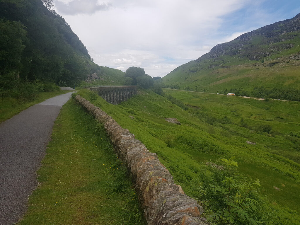
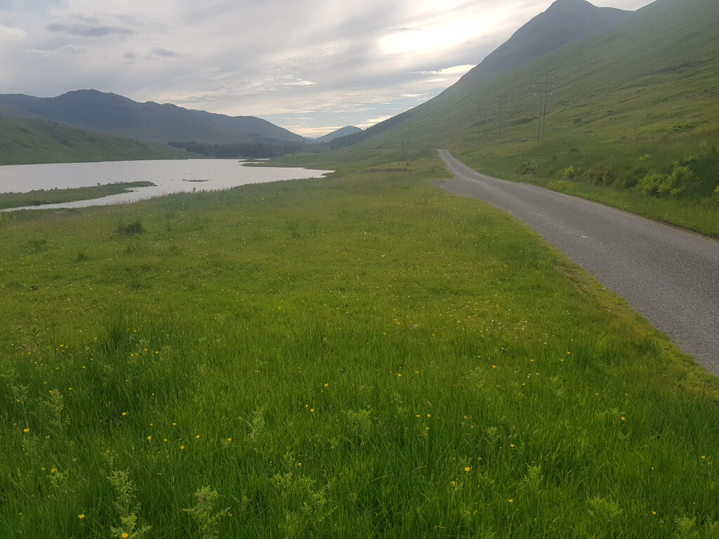
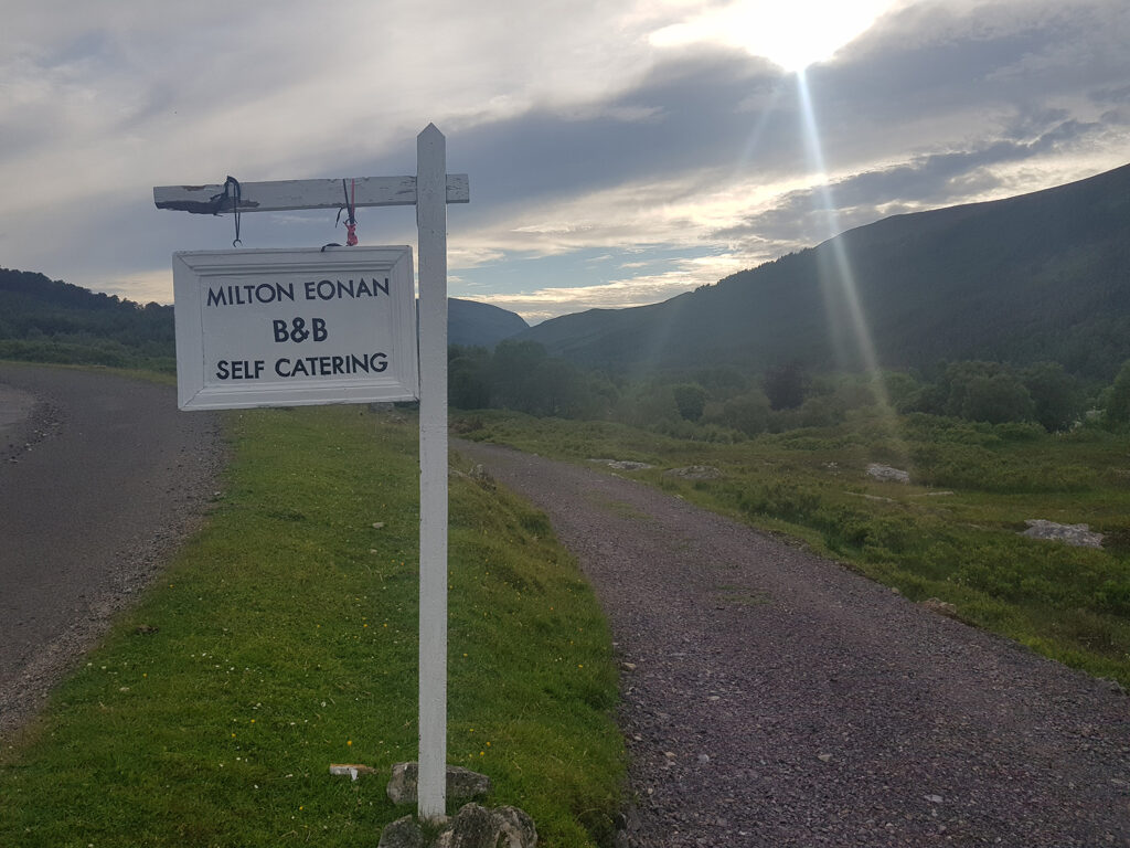
Day six Garmin route map Familiar trails for a while, following An Turas Mor From Aberfoyle a number of off-road options to Loch Venachar can be explored, if the 220m road climb on the Duke’s Pass is not your ‘cup of tea’! For a change I chose to head back along the A81 to Portend, just before the Port of Menteith. The route now climbs north on a small paved road, leading to good farm and forest gravel tracks, over the ridge. Callander for an ice cream then The Broch Cafe cannot be passed without a lunch. Pushing on, using the superb cycle paths of NCR 7, high above Lochearnhead, following the old rail line of Glen Ogle. Great cycling, clocking up the miles until Killin for a pint, or was it two!? The picturesque village was ‘rammed’ with visitors, so onwards to Glen Lyon, via the beautifully quiet lane of Glen Lochay, an old Coffin Road. The descent towards Pubil at the head of Glen Lyon is badly rutted but with care produced a fast and exciting drop into the glen. A lucky phone call to Milton Eonan Cottage (on airbnb). The accommodation was fully booked but the owner kindly allowed me to camp in her garden and use the spare toilet. A great day all round and the possibility of picking up supplies at Bridge of Balgie Tearoom
Approximate distances/terrain: Minor C class roads 20 miles – Gravel 7 miles – Major A class roads 4 miles – NCR 7 23 miles
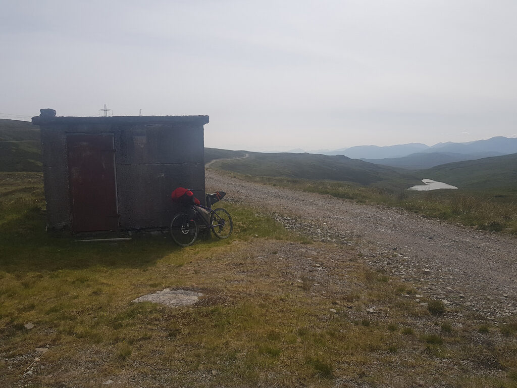
Day seven Garmin route map This day starts steep on the Kirk Pass Early climbing soon leads to pushbike tactics. Each to their own, and hiking steeper trails is far less energy sapping, with not much loss in speed for me. I’ve been over this trail before and always meet other cyclists. The uphill struggles are rewarded by gentle trails through Rannoch Forest to the south shore of Loch Rannoch. Turn west and head for the Rannoch Station Tea Room for world class refreshment, ready for the next climb over to Corrour. Return along the road for a mile or so, to Loch Eigheach and the relentless, gravel climb of 300m starts, as part of the Road to the Isles It’s not too steep to start with but the later elevations are not on the best surface. Views towards the Blackwater Reservoir and Glencoe hills makes all the effort worthwhile. Finally, a fun descent towards Loch Ossian SYHA, with Ben Nevis on the skyline. The day is not finished though, as the Corrour Burger and a couple of pints at the Station House Restaurant await!! Camping.
Approximate distances/terrain: Minor C class roads 8 miles – Minor B class roads 7 miles – Gravel 16 miles
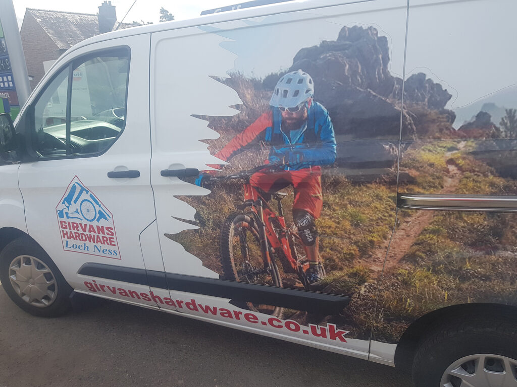
Day eight Garmin route map Loch Ossian glistened on a windless day, heading north towards Fort Augustus. Easy travel on gravel estate roads through remote landscapes. Follow the south shore of Loch Laggan, beneath huge conifers, passing Ardverikie House before arriving at the largest freshwater beach in Britain. Head west for three minutes on the A86 and turn north again on the Maria Mahria Way leading to the upper reaches of the River Spey catchment, some of which is taken through a tunnel, heading eventually for the Atlantic Ocean, via the hydro infrastructure, supporting the Lochaber smelter at Fort William. A quiet road leads to Garve Bridge and the start of an old, gravel, military road, passing Melgarve bothy before the hard work on Corrieyairack Pass starts. Hat’s off to anyone who has the skill, strength, and persistence to cycle up this gruesome grind, topping out at 774m! Take a rest, before being careful on the steep descent towards Fort Augustus and a variety of overnight resting spots. If your bike needs some TLC, try Girvans Hardware in the village. They are very helpful. A night at Morag’s Lodge is recommended. It’s haunted by all accounts but I’ve yet to meet up with the nebulous apparition!
Approximate distances/terrain: Minor C class roads 2 miles – Major A class roads 1 mile – Gravel 41 miles
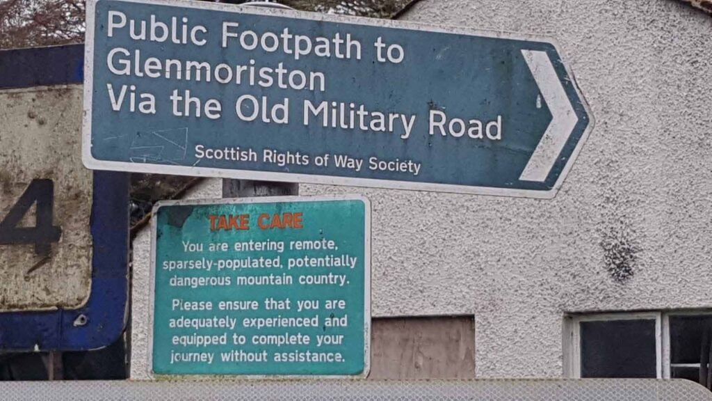
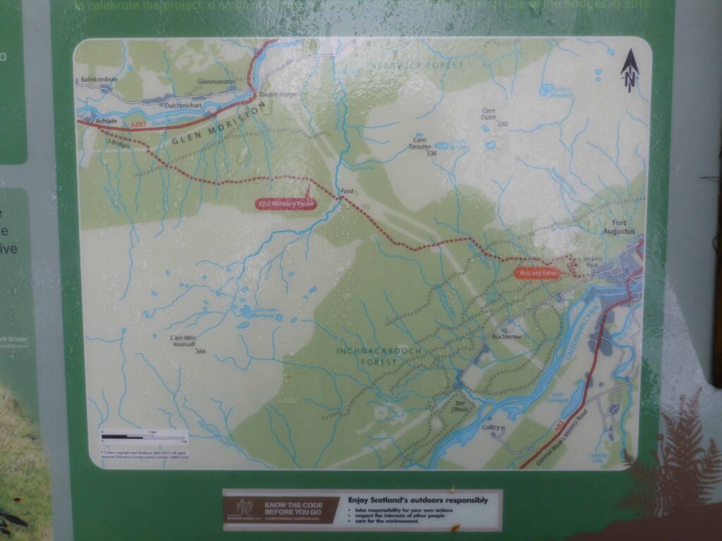
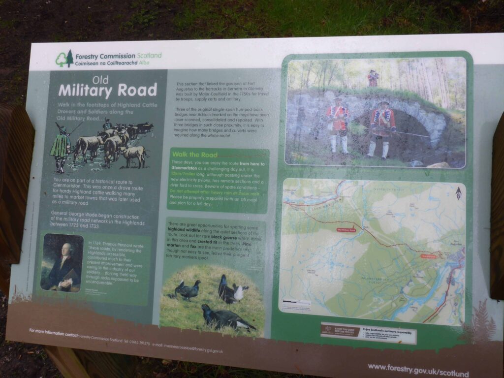
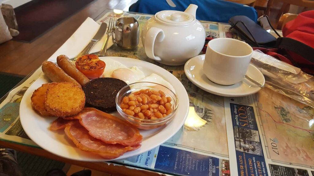
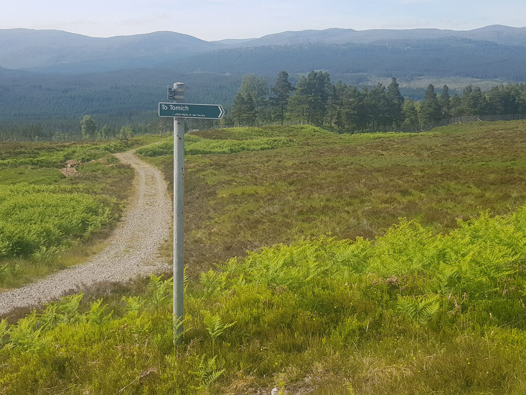
Day 9 Garmin route map. Leave Fort Augustus, heading west via Jenkins Park and soon enter and climb a wooded hillside. Emerging at the high point allows extensive views north towards the high country, surrounding Glen Affric. This is a route used by the military and drovers in Scottish history. Dive down into Glen Moriston and make a short detour east on the A887 for a significant breakfast at the Red Burn Cafe. Be wise about the quantity, as the climb out of the glen is also considerable and food could sit heavy in your stomach! The map shows a trail from the hamlet at Dundreggan but it’s better to use the forestry/hydro tracks nearer to Torgyle Bridge. There is an unresolved access issue at Dundreggan, unfortunately. Ascending out of Glen Moriston can be steep. It’s certainly relentless in the 440m climb, over approximately 9Km. Plenty of hiking for me and the loaded bike. Descending towards Tomich and Strathglass is a joy and many of the forestry trails have been resurfaced (2021). Tomich Hotel is always worth a visit and the back road along the floor of the glen is quiet and good looking. A night in the Cnoc Hotel topped of this short day.
Approximate distances/terrain: Minor C class roads 12 miles – Major A class roads 1 miles – Gravel 15 miles
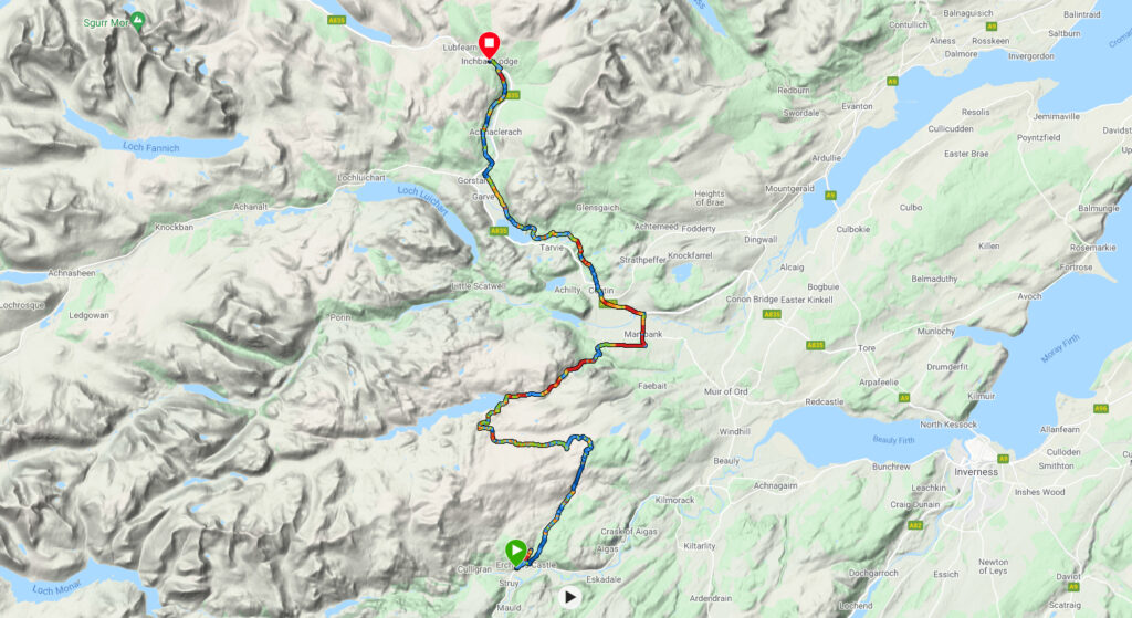
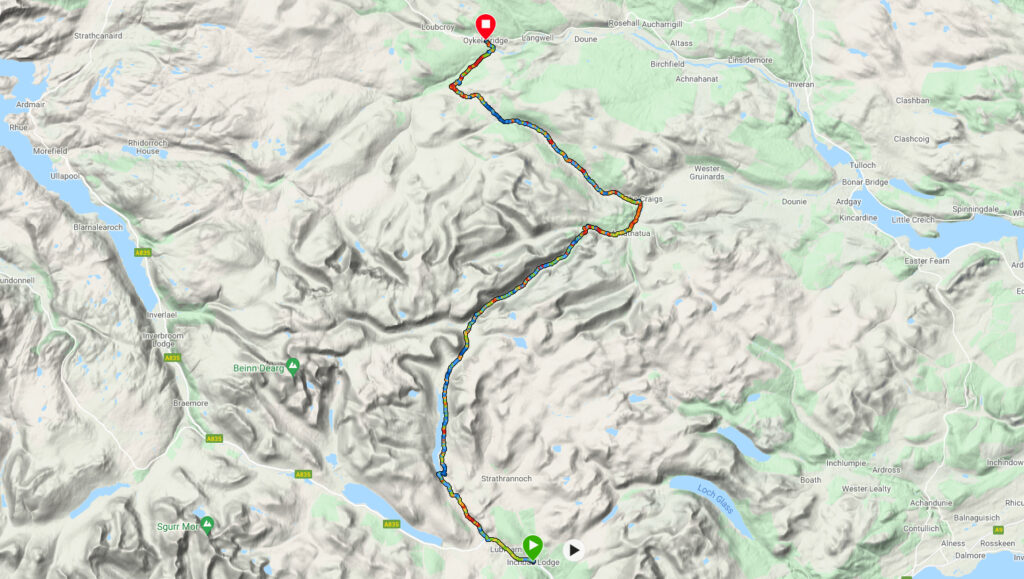
Day 10 Garmin route map A ‘dodgy retour’ on the wrong side of the Erchless Burn was soon rectified! The 300m of ascent and traverse to the Orrin reservoir can be very wet, especially once the high point has been reached. Today it was ‘bone dry’ but very bumpy on the high, treeless country. Descending from the reservoir barrage continues on a paved hydro road, until Fairburn House I have never stayed there but it’s a grand building with accommodation on offer. Contin now has a Coffee Bothy that is worth a rest stop, for a snack break and across the road, a filling station for provisions and hot snacks. The final section of this day is all off-road on cycle trails or forestry tracks, crossing the A 835 at the picturesque Little Garve bridge and on to Inchbae Lodge Inn, now under new management and getting good reviews. Check out Trip Adviser. I’ve stayed here twice and one time camped nearby and ate in the bar. Great place.
Approximate distances/terrain: Minor C class roads 3 miles – Major A class roads 4 miles – Gravel 25 miles
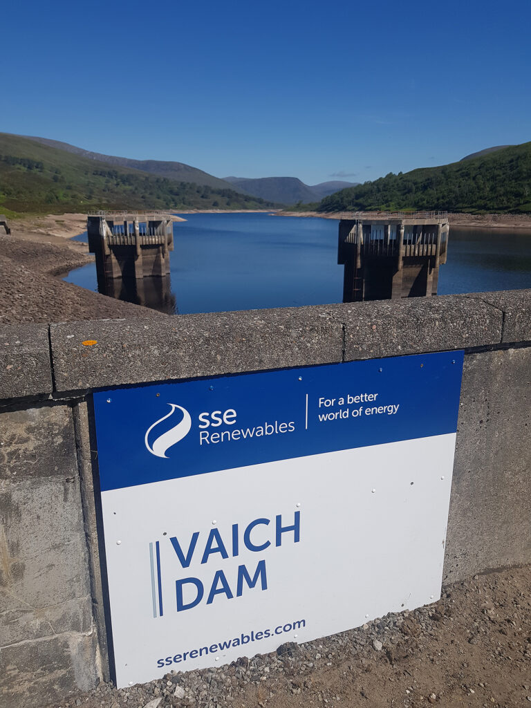
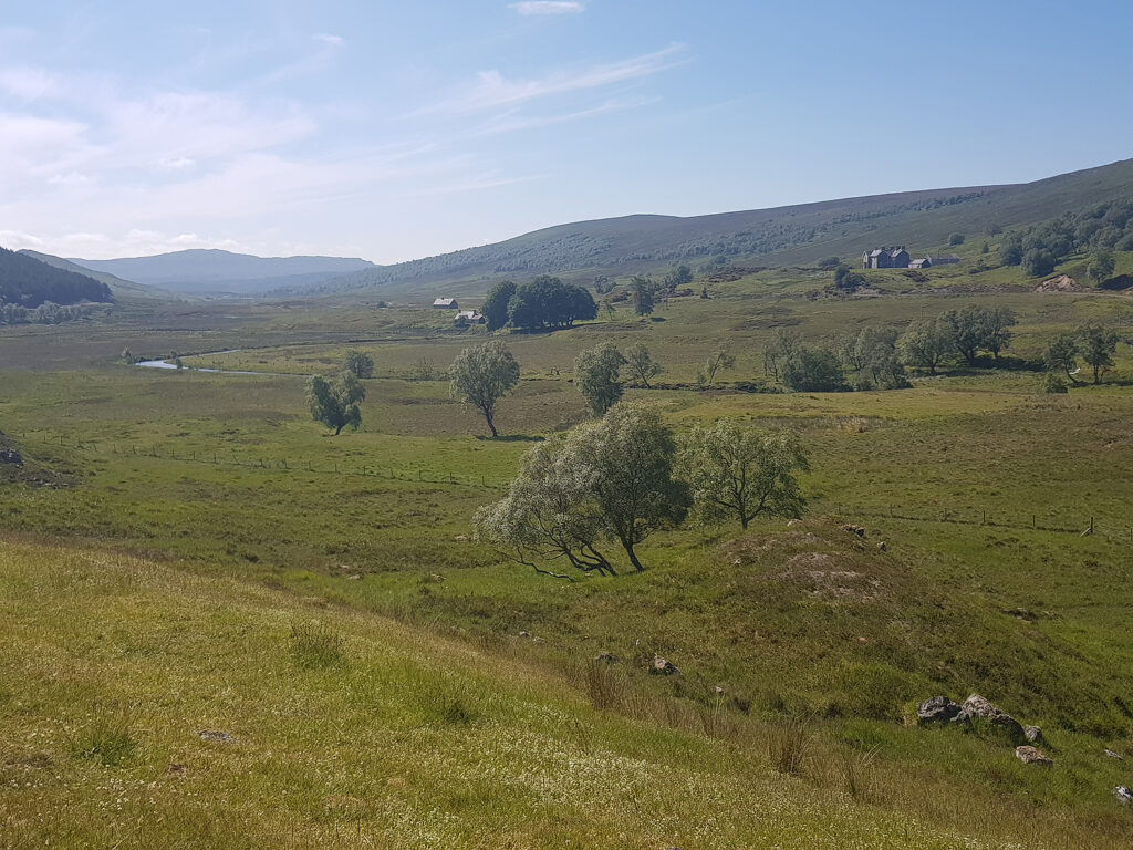
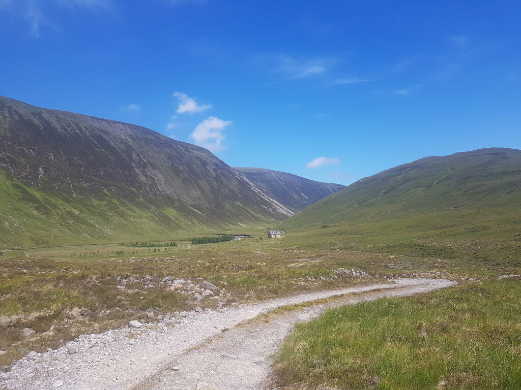
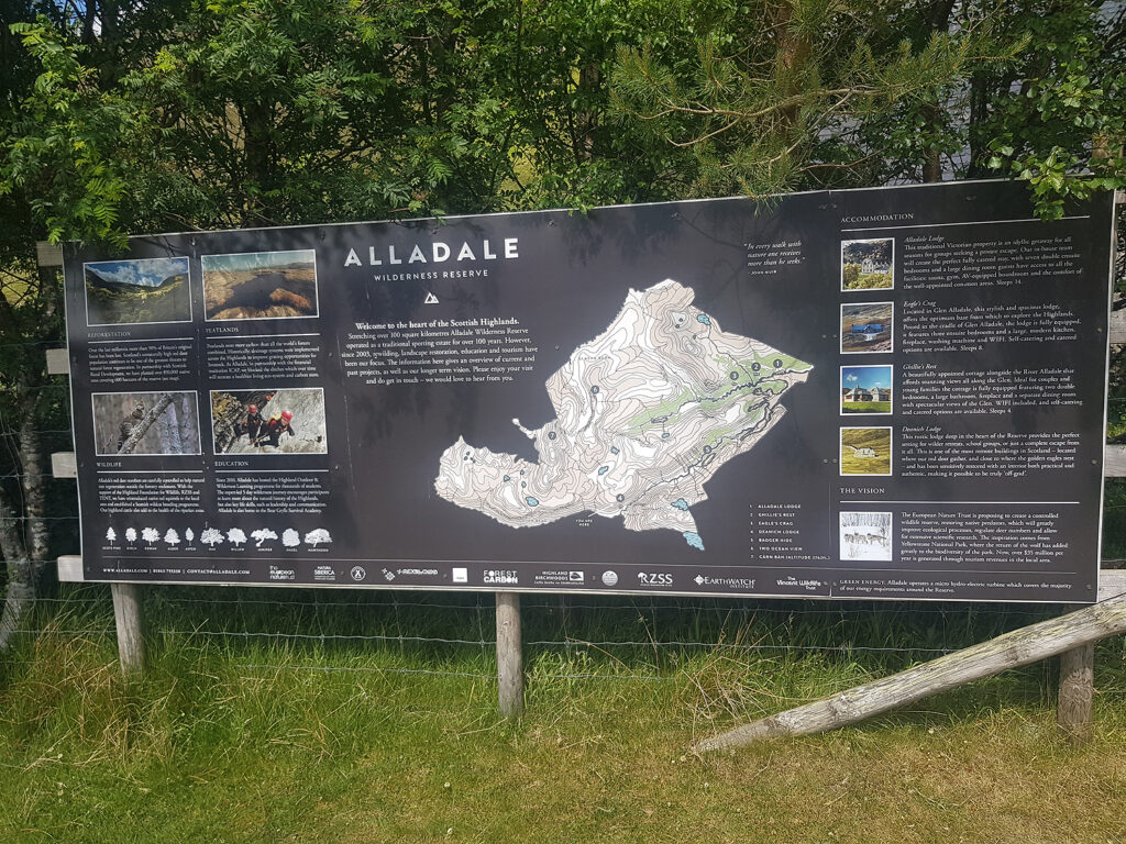
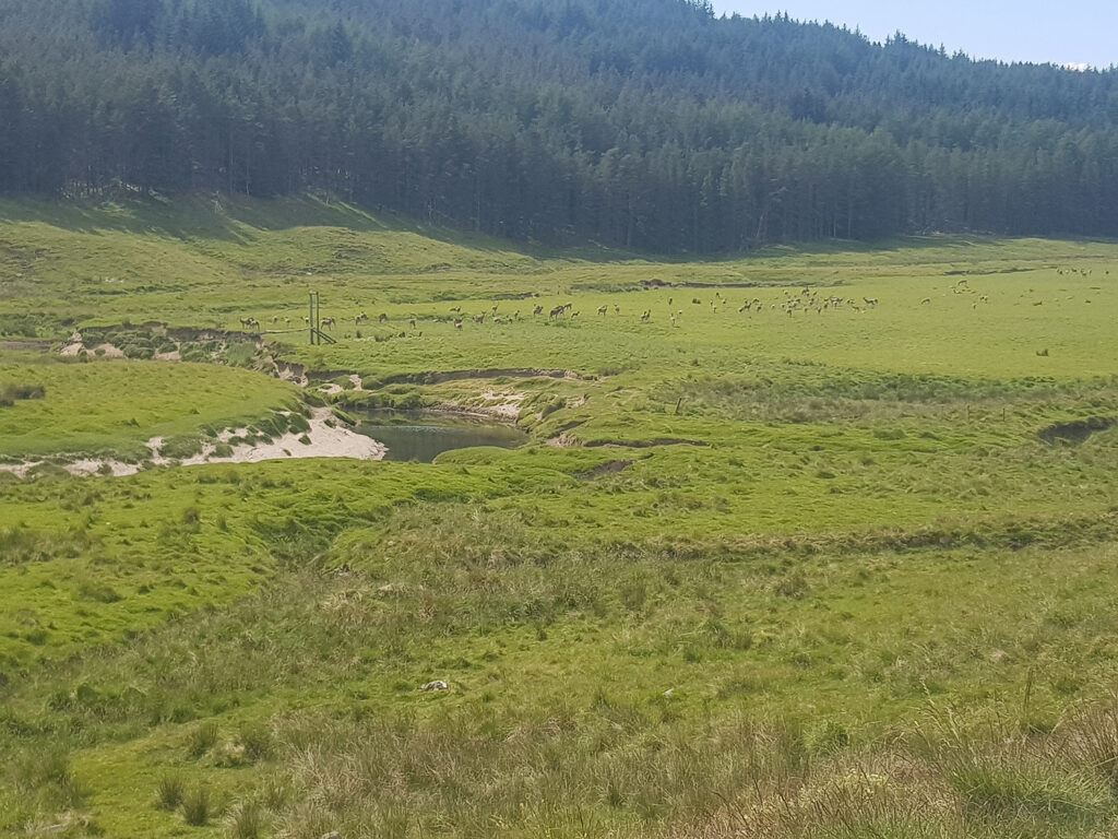
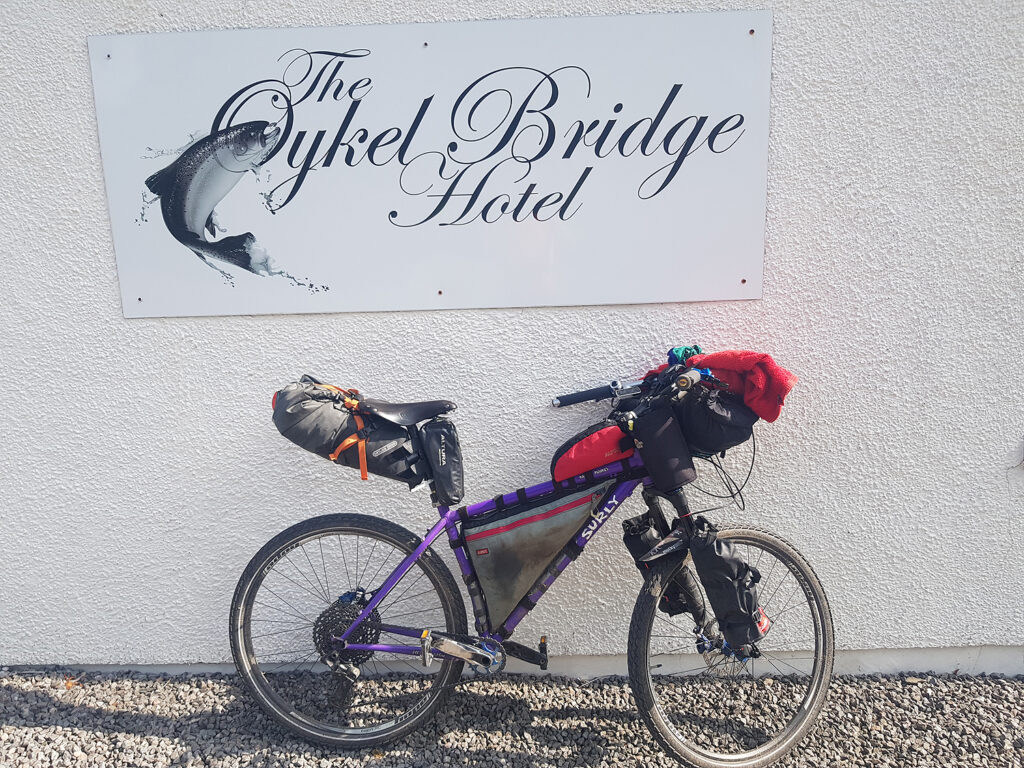
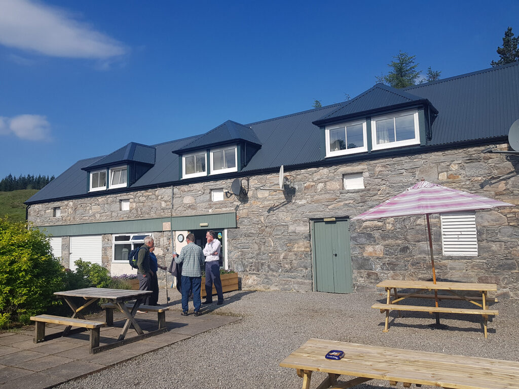
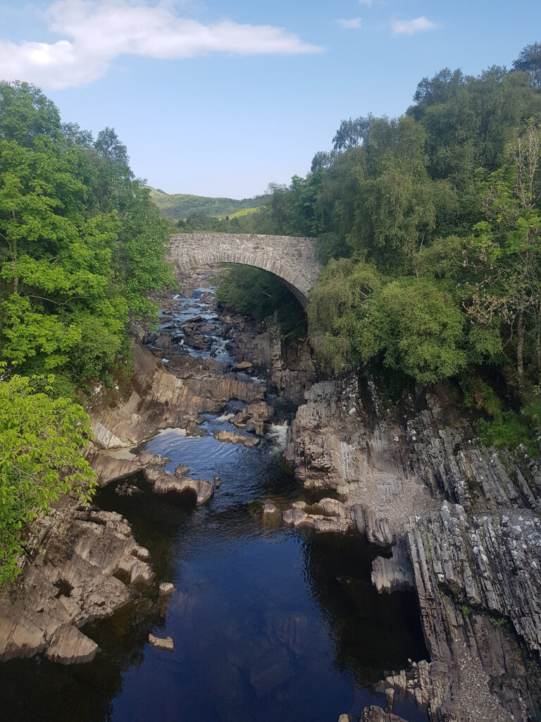
Day 11 Garmin route map There is a choice to start this good day. Across the road, very close to the Lodge, or 2 miles, N.W. along the A835. They both converge at the same place, Loch Vaich, and the great majority of the day is off-road, in wild country. Historically Black Bridge to Croick was a busy passage through remote places. From Croick the road continued to Ullapool In fact most of this day follows a historic route passing through Alladale Wilderness Reserve A very depressing time in the history of this area is shown at Croick Church There is a bothy close to the end this section. It’s worth considering joining the MBA as they maintain free access for everyone. My ‘digs’ for the night were courtesy of the old staff quarters at the Oykel Bridge hotel The bar meals are good and the staff are always helpful, in my experience. If the accommodation is fully booked, there is good wild camping nearby. During my visit the rivers were very low and the fishing fraternity using the hotel were not too happy.
Approximate distances/terrain: Minor C class roads 3 miles – Major A class roads 2 miles – Gravel 26 mile
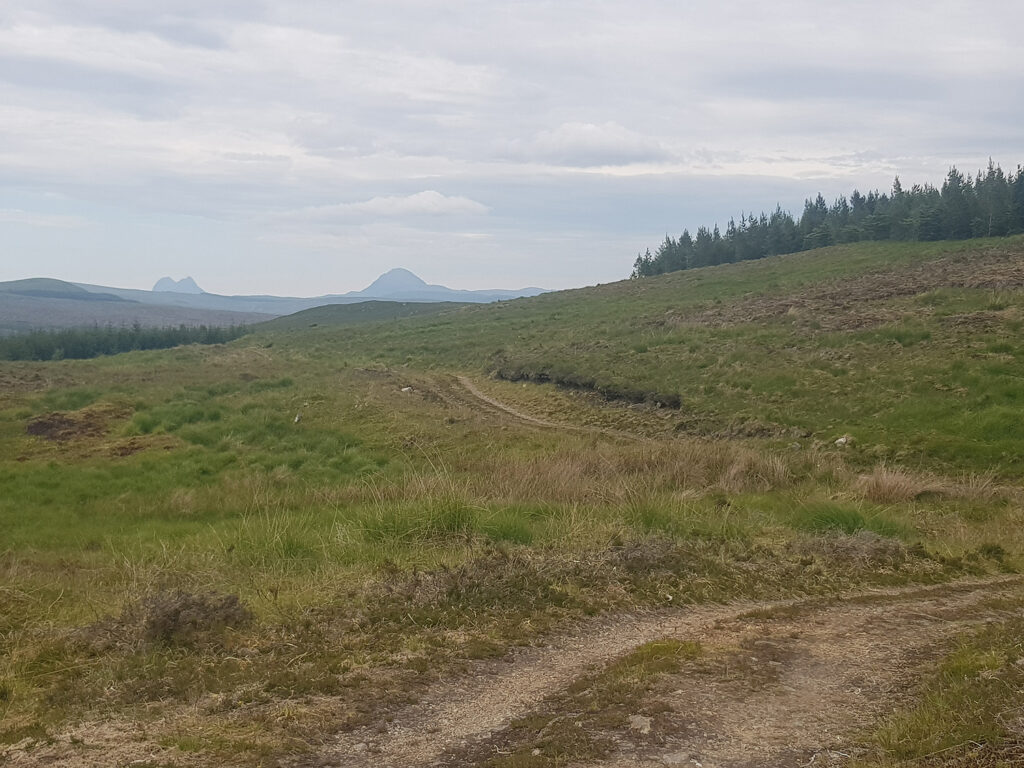
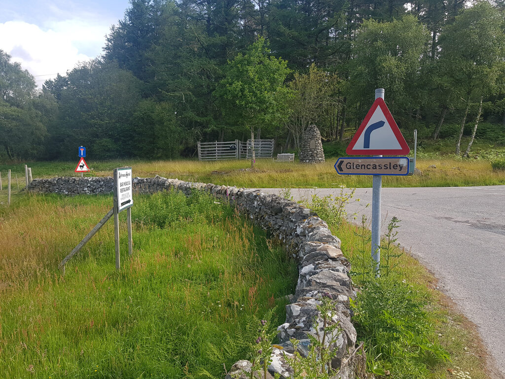
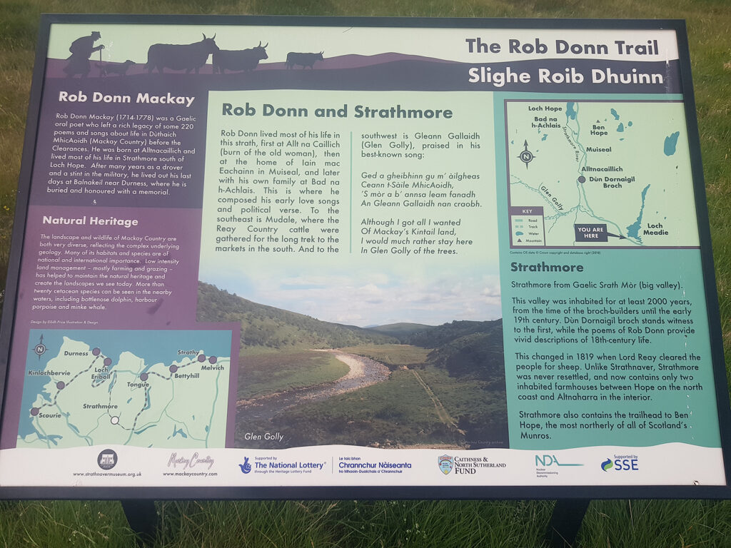
Day 12 Garmin route Nothing too challenging for this longer day, starting with 5.5 miles on the A837 to Rosehall. Plenty of quiet, paved roads, winding through very remote parts of the Northern Highlands. According to the Ordnance Survey, Glen Cassley maps are the least popular in the United Kingdom, which is a good enough reason to visit! Follow the glen until it turns into a short section of gravel in its upper reaches. Join the steep tarmac road and follow it to 417m where a rewarding descent and Loch Shin appear. Now join the A838 heading N.W. for about 5 miles. At West Merkland join an old Drove Road heading N.E. to Gobernuisgach Lodge and the nearby minor road, heading S.E.
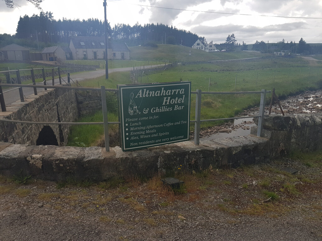
At this point An Turas Mor heads north beneath the steep western ramparts of Ben Hope. It’s the most northerly ‘Munro’ in Scotland, if you fancy a change of activity. I turned S.E. following the Great North Trail towards the Altnaharra Hotel, Ghillies Bar, where bar meals are served and the Landlord connected to WiFi on his laptop, so that I could watch more Euro 2020, with England getting closer the final. I camped close by on a patch of grass in the village.
Approximate distances/terrain: Minor C class roads 27 miles – Major A class roads 11 miles – Gravel 12 mile
Great North Trail – Cycling UK” href=”https://www.alankimber.com/wp-content/uploads/2021/09/mapcycleUKmap-1024×510.jpg” class=”galleryblock_image”>
Great North Trail – Cycling UK” title=”Great North Trail – Cycling UK” src=”https://www.alankimber.com/wp-content/uploads/2021/09/mapcycleUKmap-1024×510.jpg” width=”1024″ height=”510″ />
Great North Trail – Cycling UK
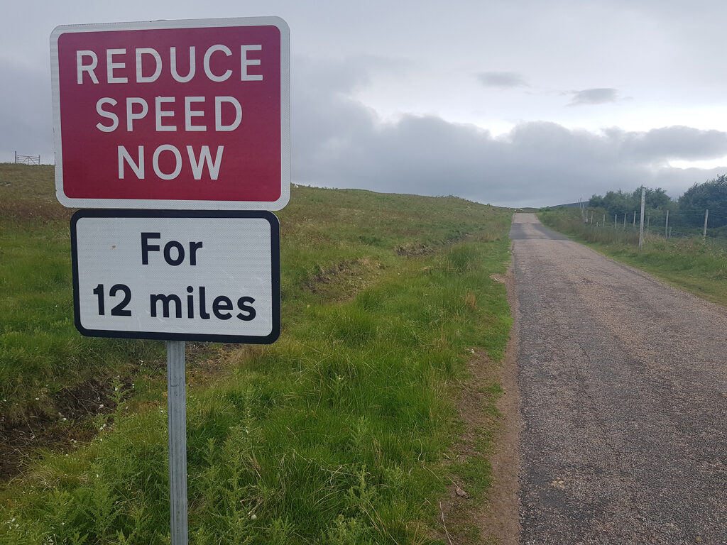
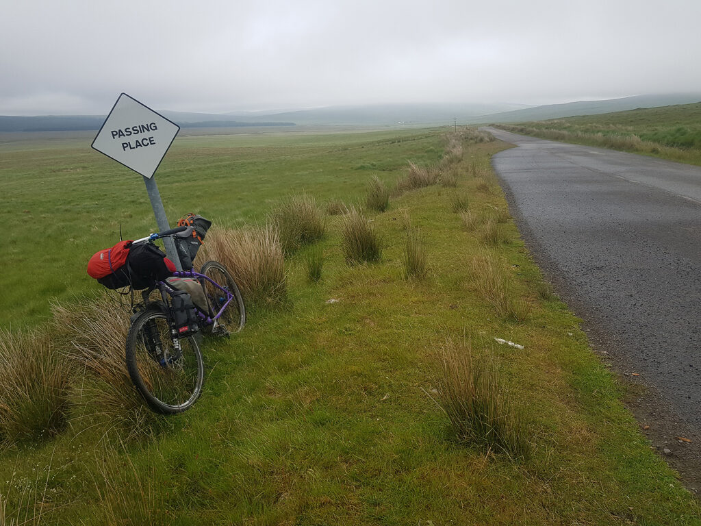
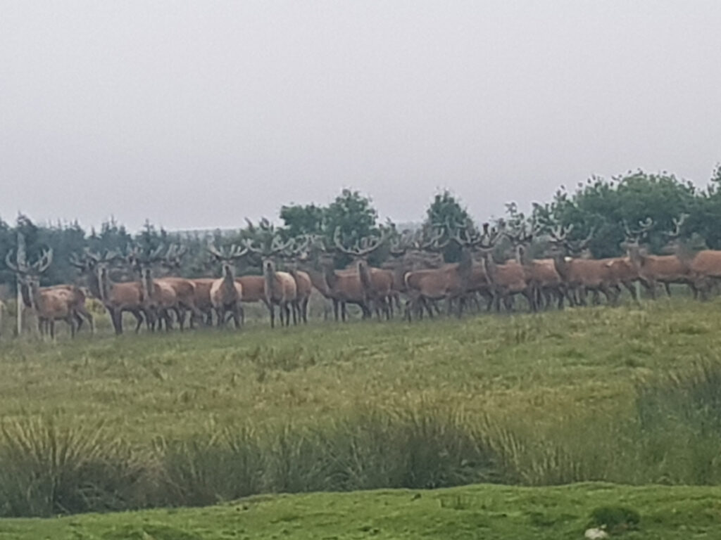
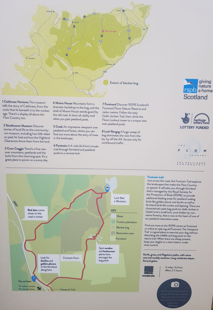
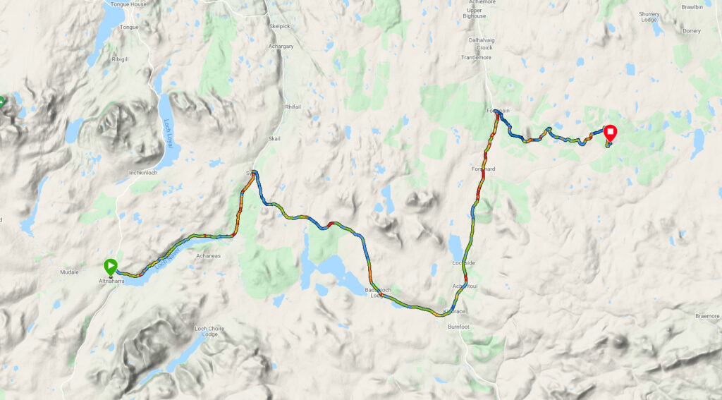
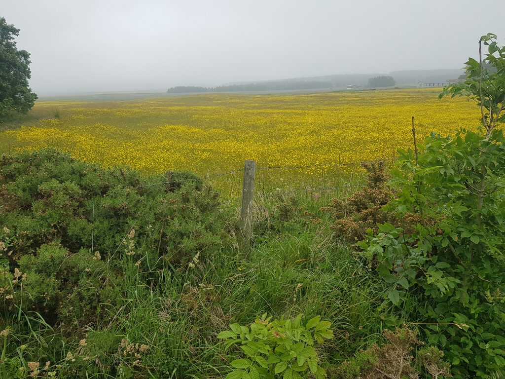
Day 13 Garmin route Mostly paved, another good mileage (for me) day, following the B873 to Syre, then the B871 to the A897 where I turned north, passing Forsinard station as far as Forsinain Farm. Even public A & B class roads are quiet on this route, away from the comparative chaos of the NC 500, motorway! From the farm, head east on gravel trails to the isolated train station of Altnabreac. You will be alone at this most remote and least used railway halt, apart from the midges. I camped in damp weather. This is the Flow Country (watch the video) which stretches across Caithness and Sutherland in the far north of the UK mainland. It’s also LEJOG land, as cyclists converge on their busy target of John O’Groats. Garvault House is worth a visit for a coffee break if you are not in a hurry.
Approximate distances/terrain: Minor B class roads 27 miles – Major A class roads 11 miles – Gravel 10 mile
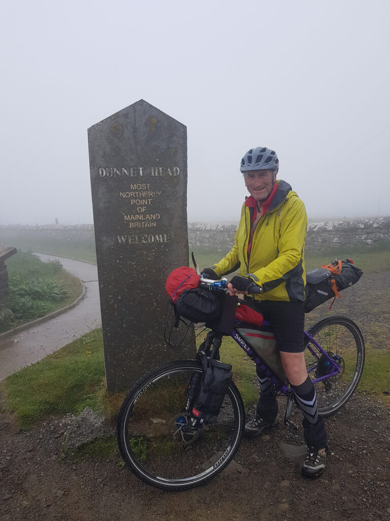
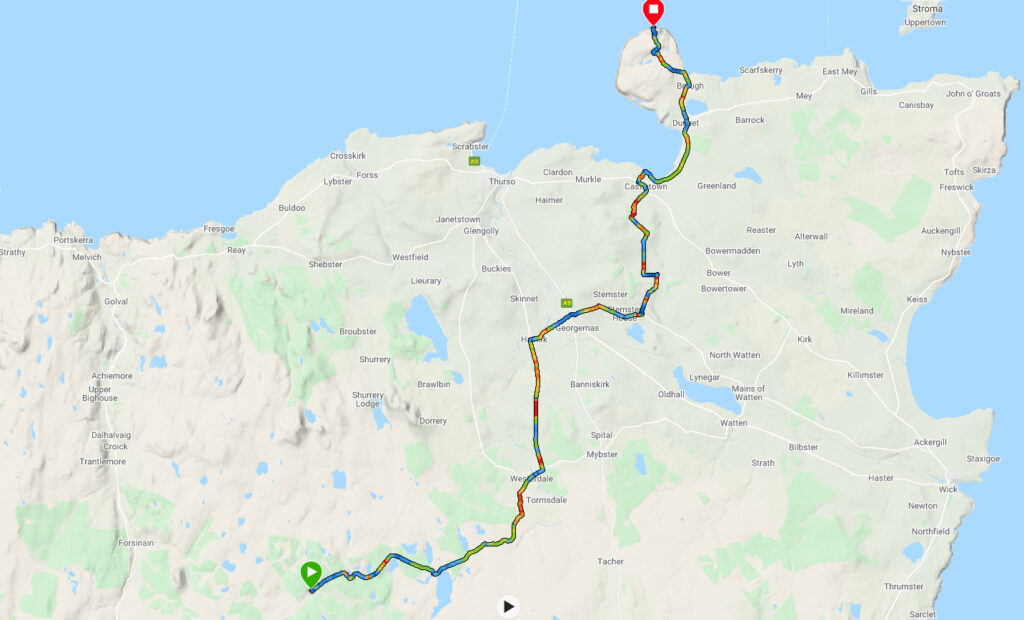
Day 14 Garmin route Compared to the first day, the weather was not allowing a sunshine finish. Views over the mighty tidal race of the Pentland Firth were non-existent and the lighthouse at Dunnet Head was proving very shy! The Pentland Firth carries some of the strongest tidal currents on earth. Hopefully research and development towards tidal energy can harness this natural resource. Tides reliably move every day, unlike the fickle nature of wind turbines and the move away from coal and fossil fuels. The remote north coast of the UK has a legacy of power generation at Dounreay Even during the decommissioning stage, Dounreay must be the largest employer in the area. Farther west along the coast, near Whiten Head a Spaceport has passed planning There is renewed hope to stop the spiralling decline in socio-economic terms. Hopefully, modern technology can live side by side with nature, conservation and tourism.
My journey started and finished at lighthouse structures built by the famous Scottish engineer, Robert Stevenson Stevenson and his son, Alan, were responsible for building three coastal lights along the treacherous, rocky cliffs of the northern mainland of the UK. Another was constructed on the tiny island of Stroma, fully in the teeth of the main race. No doubt that the prosperous, unregulated activity of taking valuables from ships, foundering on these dangerous shores, diminished, due to the skills of the Stevenson engineers. All good things come to an end.
Approximate distances/terrain: Minor C class roads 16 – Minor B class roads 10 miles – Major A class roads 3 miles – Gravel 6 miles
]]>https://www.alankimber.com/2021/09/mull-of-galloway-to-dunnet-head/feed/7Speyside Way Cycle
https://www.alankimber.com/2021/08/speyside-way-cycle/
Sun, 08 Aug 2021 17:18:13 +0000https://www.alankimber.com/?p=10728Or ..’Nowhere near the Speyside Way Way’.. as one local described it! Our two-day cycling trip started in the village of Newtonmore […]
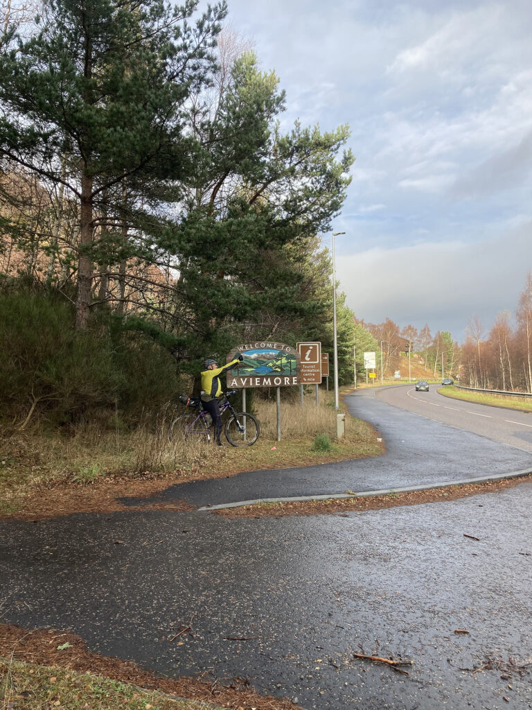
First Day To be fair, day one did follow the official route, with rare deviations, mostly for food and drink. The addition of an extension from Newtonmore to Aviemore is very good. There is plenty of varied terrain, including some NCR 7 sections and forest trails. A visit to Route 7 Cafe, Aviemore is essential for lunch, if you are feeling peckish. The 35 miles from Newtonmore provided grand cycling over the newest part of the Way, although some signs were missing. We were staying at the recently sold Ben Mhor Hotel in Grantown on Spey. There was no cooked breakfast. We had an evening meal at the Craig Bar where they had keg Cairngorm IPA and a very merry landlord (and who can blame publicans at the moment) and the menu was anything you liked so long as it was a pie! The speciality was meat!
Day Two We were still looking for a cooked breakfast as we we had a big day ahead, biking to Buckie. The Speyside Hotel was recommended by the “merry” landlord of the previous night. He was also in for breakfast and still very “merry”. After an excellent feast, we left the town by the recommended B road to Ballindalloch, across the river from the official Way as the biking over this section is problematical. After a lengthy section of disused railway track-bed, it was largely road from Craigellachie, which was OK for biking but must make for tedious walking. We managed to complete the route to Buckie as night fell that day. Previous planning with another vehicle in Buckie and we were back home that evening. A great trip with two good friends. Thanks Adele and Jim.
]]>Ben Nevis safety aids
https://www.alankimber.com/2021/05/ben-nevis-safety-aids/
Sun, 02 May 2021 13:41:05 +0000https://www.alankimber.com/?p=10778A bit of history on cairns and safety aids on Ben Nevis. This sparked my interest around 1996, when the LMRT placed […]
]]>A bit of history on cairns and safety aids on Ben Nevis. This sparked my interest around 1996, when the LMRT placed two metal poles to aid navigation in poor visibility, especially under winter conditions. Too many fatal acidents had led to this action by the team. The Mountaineering Council of Scotland were somewhat ruffled about this, especially at their AGM at the Clachaig in 1997. Mysteriously the poles were cut down by person(s) unknown. Finally common sense prevailed and the cairns and various markers were replaced with materials sourced on the mountain. Below is archived from my feelings at the end of the last century!
Poles and Shelters on Ben Nevis
As some of you may know there is an ongoing debate as to the usefulness of cairns and posts as aids to navigation on Ben Nevis. My own view is that they can provide an extremely useful addition for folk navigating properly, offering re-assurance in poor visibility. Copied below are two of my more recent letters on the subject. Let me know what you think.
A Tradition of Posts and Shelters on Ben Nevis
Probably before, but certainly since the development of the summit weather station and hotel on Ben Nevis there has been a tradition of waymarking and various aids to safety, both on the high plateau and at lower levels. These have been placed by mountaineers and local rescue teams, with the blessing of the Police and the land owners. Indeed British Alcan who own much of the mountain have often supplied the materials to be used. This has continued to the present day.
In 1895 James Shearer produced four excellent prints of panoramas from the summit of Ben Nevis. The westerly aspect from the summit clearly shows a line of posts and cairns marking the way towards the ‘Pony Track’.. A later (1935) SMC guide edited by G.G. Mcphee reproduces these prints and interestingly states…”inexperienced climbers would do well not to lose sight of the posts and cairns which direct the way to the Observatory”…(p 17). He goes on to say…” In stormy weather even those who know the mountain best may easily be led astray, as when at Easter 1901 a strong party descending from the summit, and in spite of compass observations every fifty yards, failed to strike the true direction, and in the face of a driving blizzard, eventually reached Glen Nevis near Polldubh, arriving at Fort William at a late hour”…(p 18)
There has always been a tradition of mountaineering and rescue in Fort William and in 1945 the Lochaber Section of the Junior Mountaineering Club of Scotland was formed and…”its contributions to mountaineering and rescue on Ben Nevis have always been high”…(Ben Nevis – Britain’s Highest Mountain. Ken Crocket. 1986. p 141). Around that time Dr Donald Duff settled in Fort William and became deeply involved in mountain rescue and accidents….”Following a fatal accident on Nevis, Dr Duff oversaw the erection of direction posts indicating the safe descent route to the Carn Mor Dearg Arete. Duffs original pair of three-foot wooden posts were later added to, but only after the terrible accident involving the cadets”…(Ben Nevis – Crocket. p161). These posts still provide an essential waymark on the descent towards the CMD Arete and without them there would be more accidents in this area of Ben Nevis.
…”The obvious surface feature near the summit of Ben Nevis in winter is the emergency bivouac shelter”…”This tin shelter is like an ice-box in winter, though it continues to save lives from the crippling effects of the wind”…(Ben Nevis – Crocket. p 160). . Two other shelters are situated on Ben Nevis, one in Coire Leis and one on the west facing slopes of Carn Dearg NW Lochaber JMCS helped to pay for and erect the summit shelter and that on Carn Dearg (SMCJ, 1958, p 296). Some cash was also provided by the ‘People’ newspaper. Originally the summit shelter was prone to being covered by snow, so it was moved to its current location on the topmost part of the Observatory ruins in the mid 70’s by instructors and students from Loch Eil Centre. More recently it has been slightly enlarged and improved by Lochaber MRT. The latest shelter being put in place with the help of the RAF. Originally the shelters were erected in response to fatalities involving lost climbers who died of mountain exposure. To find the summit shelter in a full blown blizzard is very re-assuring.
In the 1960’s (21.6.64 & 5.7.64) Hamish MacInnes asked John Hinde of the Kinloss MRT to help in placing the abseil posts at the top of the southern corner of Coire Leis. Members of the Glencoe MRT plus some from Lochaber and members of the TA were helped by an RAF helicopter from Leuchers to transport materials and place seven posts. Three of these posts remain standing at the moment. Although the slope is fairly straightforward in descent these days if modern crampons and axes are used properly. At the time of placing the poles they helped tired climbers considerably, when faced with a long descent cutting steps. The poles can at times prove useful, especially in locating the correct descent into the corrie in poor visibility.
Also of interest here is the warning sign which was placed at the top Glen Nevis car park to tell folk of the potentially serious nature of the ground near the waterslide slab approximately three hundred metres higher up into Coire Eoghainn. Two direction poles with markers were also erected higher up to divert folk away from the worst sections. According to John Hinde and the SMC statistics, accidents reduced dramatically in this area following this action by the Police in consultation with the local rescue team.
The pole at No 4 gully was made in Lochaber High School by Bob Spalding (Tech Teacher) and put in place by Ronald Cameron. This would have been some time between 1966/71 . Bob thinks the Police asked him to do it.
Hamish McInnes who is in favour of marker poles and feels that they could save lives mentions the time when he was camped on the summit making a film for two weeks…”We had bamboo markers from the Red Burn to the summit and they were a tremendous help. It was interesting to see the number of late arrivals on the summit during this stay – Casual climbers – and several parties were saved a cold bivvy due to being able to follow the markers”…
At the Mountaineering Council of Scotland 1997 A.G.M. it was suggested by one of the guest speakers (Bob Aitken – Chair of the Scottish Countryside Activities Council) that Ben Nevis was a special (unique) case and may need to be treated as such in relation to waymarking and a host of other factors effecting Britain’s highest and most popular peak.
Every guide-book published this century to Ben Nevis has mentioned marker poles and shelters as aids to safety. So why all the fuss about the current debate to enhance existing stone cairns whose wooden marker post tops had rotted away. Until now nobody appears to have questioned the wisdom of those notable mountaineers and rescuers who placed the previous markers.
Throughout Europe local communities, climbers, mountain guides, rescue teams and police are involved in sensible placement of mountain waymarks aimed at reducing accidents. Why should we be any different in Britain?
The following from Godefroy Perroux in his new guidebook to Ben Nevis is of interest…”as blind as bats we faithfully followed the compass, our only hope of salvation. With frozen, half-closed eyes glued to the tiny instrument. I saw nothing ahead. It was Dave who spotted it first: a pole sticking out of the snow right in line with our course. It was a bamboo cane complete with illuminated marker tag. A few yards further on there was another and another. The feeling of relief was unbelievable. Here was a route to safety, obviously left by the BBC team. The markers took us swiftly and safely to the pony track”…
For the past one hundred years or more markers posts have helped people find their way up and down Britain’s highest peak. I believe that their contribution to safety has been immense. Given the large increase in popularity over recent years of winter climbing in particular, I believe that the number of accidents on Ben Nevis is small. This is in no small part due to the navigational marker posts which previous climbers and rescue teams have placed on the mountain. Alongside of encouraging good navigation by mountaineers we should also be supporting the Lochaber Mountain Rescue Team in their efforts towards the sensible replacement of the old posts with modern material able to withstand the ravages of the Nevis climate.
In support of Navigation aids on Ben Nevis
Whether or not you are on a familiar mountain, have you ever experienced the panic which can grip you, causing uncertainty to set in during poor visibility? The ground is not quite right, the angle is wrong and you have been travelling for too long on your chosen bearing without finding the next landmark.
Chances are if we were honest about it, we would all own up to being in this state of mind on more than one occasion. We would also agree that one of the most satisfying and re-assuring aspects of poor visibility navigation is finding a familiar landmark, be it natural or otherwise. The flood of relief in some situations can be immense, leading to more clear and rational navigational decisions based on knowing you are where you thought you should be. Equally if you cannot find any familiar features your navigational senses will remain at red alert.
How many of those who read this note have found the post at the top of Number Four Gully or those leading down towards the Carn Mor Dearg Arete on Ben Nevis in filthy white-out conditions? How many of those same people cannot own up to having heaved a sigh of relief on finding these comforting metal landmarks? I don’to think I would be far off the mark in supposing that the few people who have so far put pen to paper, or hacksaw to metal condemning the two poles placed by the Lochaber Mountain Rescue Team would have been thankful to find them also. The life saving summit shelter (maintained by the L.M.R.T.) will have provided these same people with welcome respite from the elements as they ponder on their descent over a welcome hot flask.
Ben Nevis has for many years had a line of cairns which run straight and true on the current safety bearing from the top of Gardyloo Gully towards the Red Burn descent. These were more than likely placed by the workers from the summit weather station or earlier still last century, to aid way-finding on and off the summit plateau for tourists, Post Office personnel delivering mail to the summit hotel or early climbers such as Norman Collie and company undertaking first ascents, before spending a night in the hotel and descending the next day.
Navigational techniques and map accuracy have undoubtedly moved on since these way marks were built. However the cairns still provide a useful method of route finding to all who visit Ben Nevis.
During the summer months or seasons with little snow, these cairns offer very useful way marks in poor visibility for people using a compass and map properly, or indeed the thousands who climb the mountain without either map or compass! Unfortunately during the winter months they can become obliterated by snow and even if travelling on the correct bearing are impossible to find. The Lochaber Mountain Rescue Team felt it would be a good idea to extend the height of two of these important cairns with metal posts in order to offer at least some extra certainty to those people confronted with poor visibility, especially in winter.
In addition to the posts the L.M.R.T. also produced a very useful map showing the main gully features on the plateau as well as the exact position of the marker posts. This map was freely available in Fort William climbing shops. Hundreds of people also wrote to the team to ask for a copy of the map.
The decision to place the poles was not taken lightly. All of the team are mountaineers and love the free wide open spaces of the high Scottish peaks. Many of them are also members of the Mountaineering Council of Scotland through their association with the local climbing club. Some are mountain guides/instructors and they all enjoy mountaineering at home and abroad, some to a very high standard. Placing the poles was made from a standpoint of deep mountain experience and a balanced appreciation of the mountain ethics involved in their action. These people know all there is to know about the Scottish hills, and we should trust their judgement on this matter.
Current feeling from the executive of the MC of S is against the poles. Recent media attention on the issue suggests wrongly that the rescue team will not meet with the MC of S. I was at a meeting in Fort William Police Station between the MC of S and L.M.R.T. At that meeting the two sides agreed that the L.M.R.T. would review the situation in a years time. This has been done and in the light of the substantial amount of positive letters in favour of the idea received by the L.M.R.T. the concept of way markers on Scotland’s most visited summit remains a realistic option in helping to lessen the amount of lives lost due to navigational error on the Nevis plateau.
The MC of S quite rightly suggest that training in high mountain navigation is a way of helping to give people more skill and confidence in route finding, especially in winter months. However, training alone will never be enough. Many of the people who have tragically fallen from the Nevis plateau were experienced mountaineers who had visited the plateau numerous times before. I am convinced that some of these poor folk would have survived if the old line of cairns (especially above 1300m) had been more clearly marked.
Recent media attention on the subject paints a poor picture of the L.M.R.T. Letters emanate from a small band of mountaineers, editors of magazines or officers of mountaineering councils in influential positions. The impression given by these people is far from realistic. It’s about time that those who are in favour of the idea, also wrote to the magazines supporting this small action taken by the L.M.R.T.
The current issue is about saving lives by making existing way marks more easily found on the plateau of Scotland’s most popular peak. It is not the …”thin end of the wedge”….it will not….”lead to more deaths”…..it is not…..”pampering mountaineers”…..it is not about……”who rules mountaineering”…..and will not…..”lead to signs all over the Scottish mountains”….All of these sensational quotes can be attributed to a handful of people saying the same thing over and over again. It’s boring to listen to and does not represent a majority view.
I feel strongly that the posts should stay on the Nevis plateau and would ask anyone else who agrees with me to let the Lochaber Mountain Rescue Team know their views (c/o Fort William Police Station, Fort William.). And the next time you visit the plateau in the summer stick another rock on the line of cairns which run down bearing 282 deg (grid) from Gardyloo Gully towards the Red Burn. The higher the better.
Alan Kimber – Fort William Mountain Guide on Ben Nevis for thirty years.
]]>Glen Loy routes
https://www.alankimber.com/2021/03/glen-loy-routes/
Wed, 31 Mar 2021 17:47:31 +0000https://www.alankimber.com/?p=10695My local glen. Glen Loy is very quiet, sparsely populated and surrounded by forest and 700m hills, north and south. The River […]
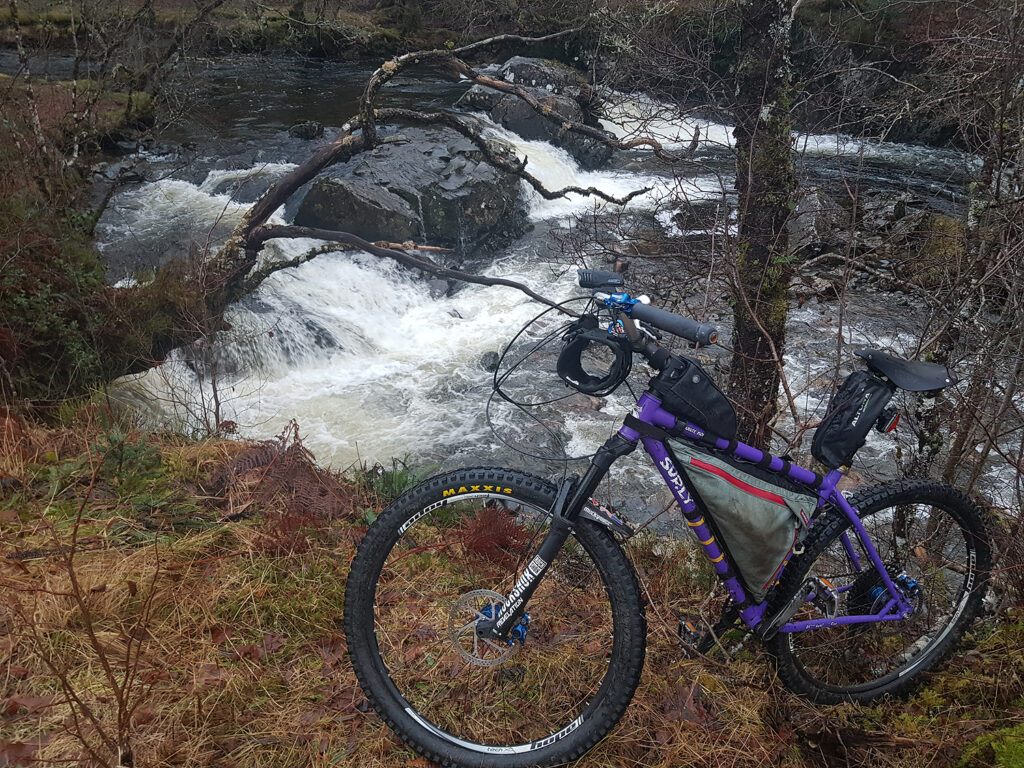
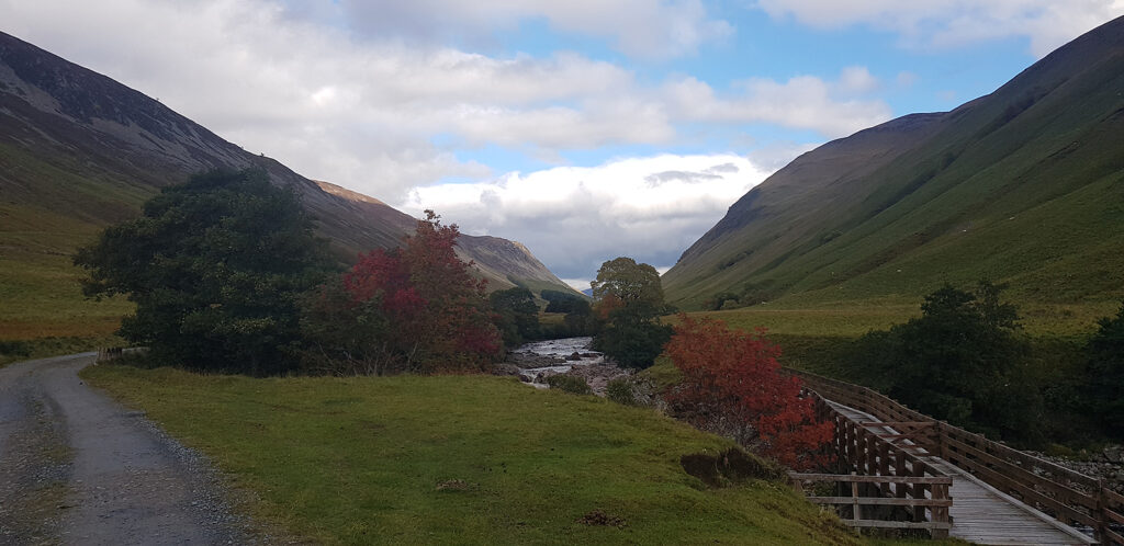
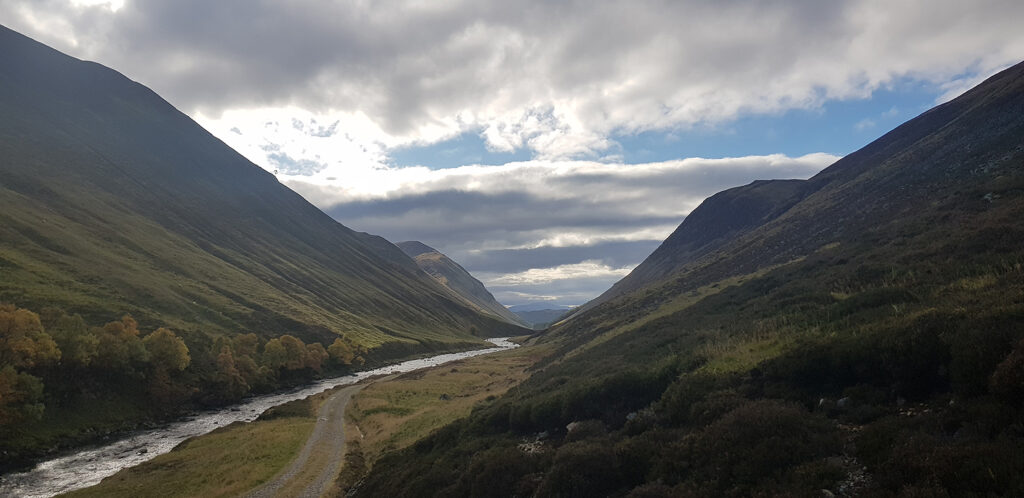
]]>My local glen. Glen Loy is very quiet, sparsely populated and surrounded by forest and 700m hills, north and south. The River Loy in some spate conditions, offers very good white water paddling, at an intermediate level. Watch out for overhanging trees. The plantation forests on either side have a good network of easy, but often steep trails. A through route towards Loch Eil, Fassfern does exist, but is very rough in parts. Check out Heritage Paths
]]>Loch Oich circuit
https://www.alankimber.com/2020/12/10649/
Sat, 26 Dec 2020 18:22:28 +0000https://www.alankimber.com/?p=10649A short ten mile circuit of Loch Oich Not far from Fort William. Garmin Map link.
]]>A Cairngorm cycle loop
https://www.alankimber.com/2020/10/a-cairngorm-cycle-loop/
https://www.alankimber.com/2020/10/a-cairngorm-cycle-loop/#commentsSun, 25 Oct 2020 16:33:55 +0000https://www.alankimber.com/?p=10536Cycling, mostly off-road around the Cairngorm mountain group. A decent autumn weather forecast, supported the four-day journey. A hard-tail mountain bike, Surly […]
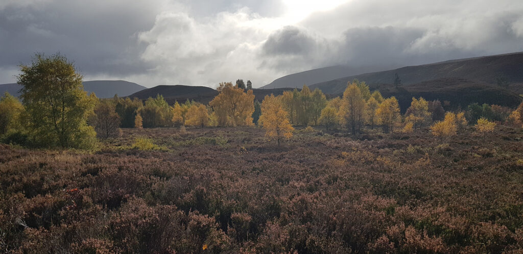
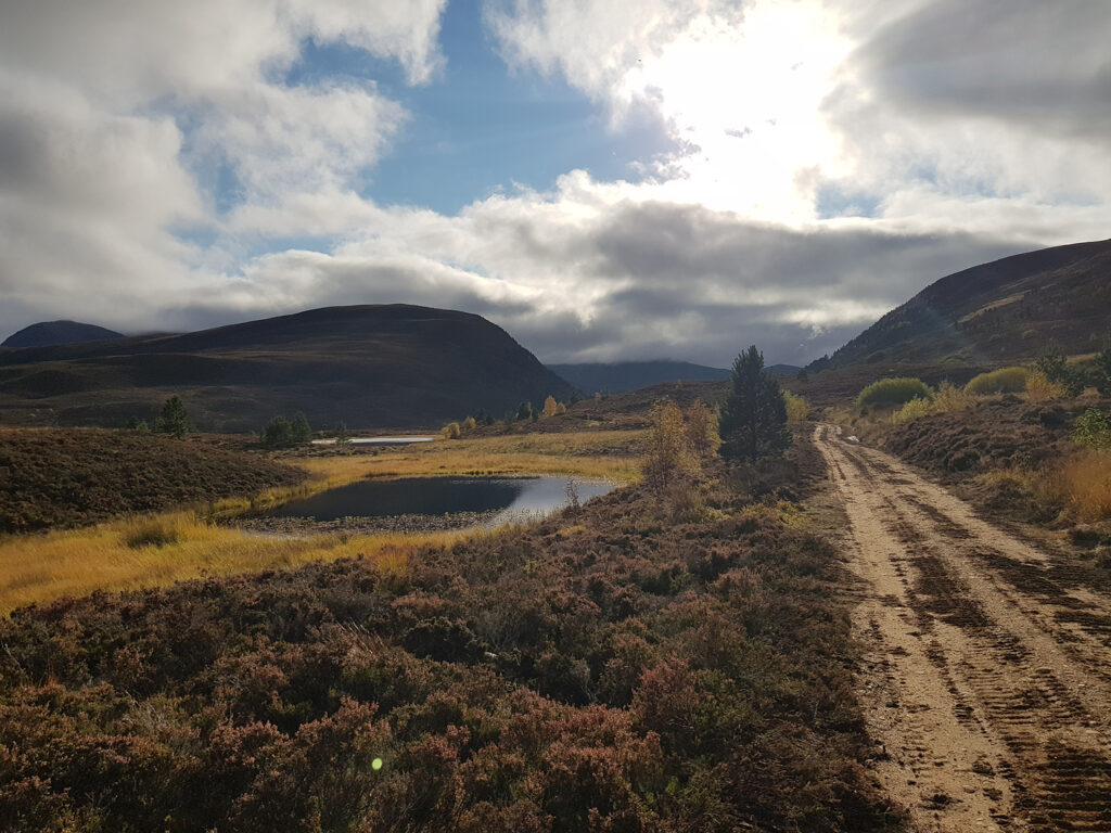
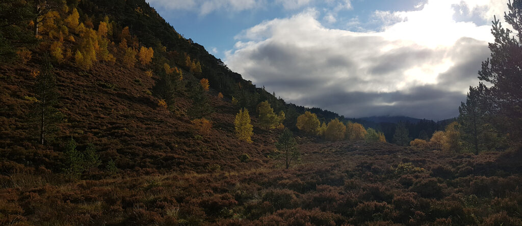
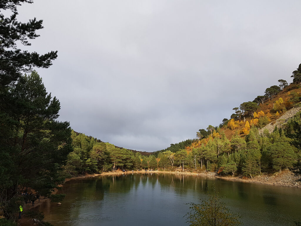
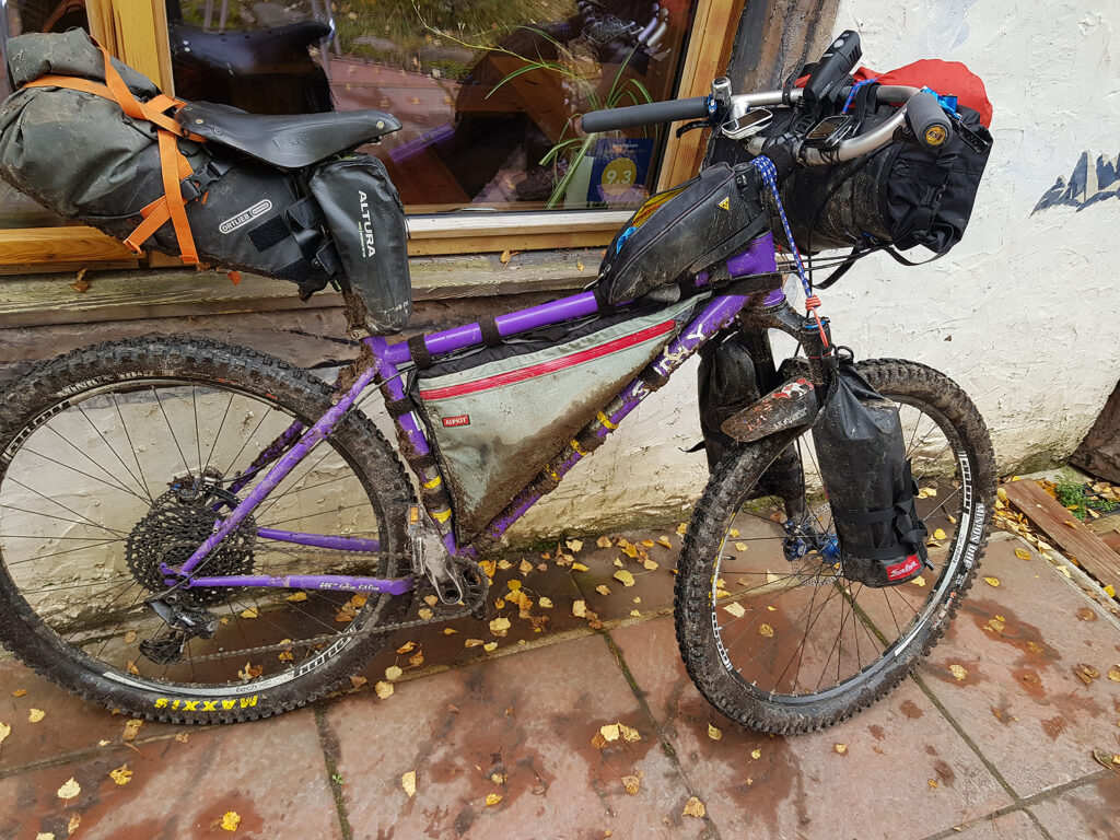
]]>Cycling, mostly off-road around the Cairngorm mountain group. A decent autumn weather forecast, supported the four-day journey. A hard-tail mountain bike, Surly Karate Monkey carried me and camping kit on this challenging and beautiful autumn ride.
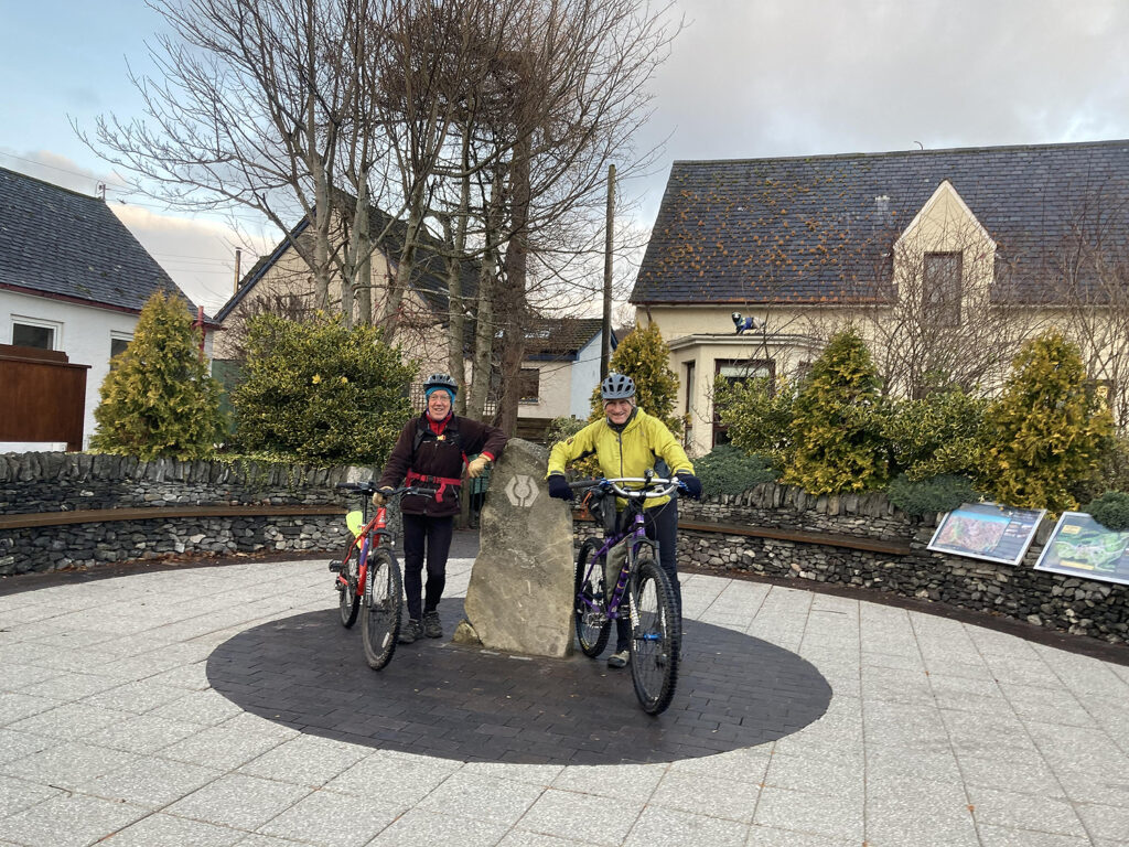
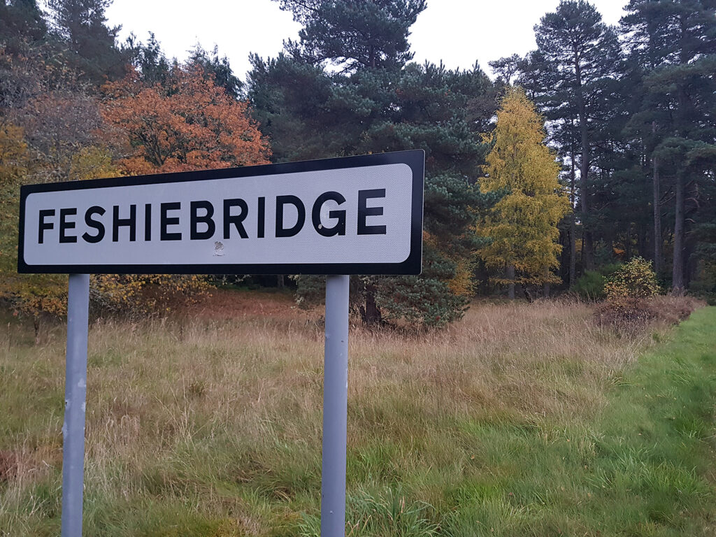
Starting from Feshiebridge. Good tracks and byways, plus a short, easy portage at Loch an Duin on single-track, through Glen Tromie to Blair Atholl. Gently up Glen Tilt to The Falls of Tarf and on to Braemar on a mixed quality of trails. Steep gradients, up and over to Tomintoul from Braemar/Invercauld. Finally, turning back west to Ryvoan and the perfectly manicured trails in Glenmore Forest Park and Rothiemurchus. Additional information on these routes and many others, is available here
Search deeper into the history of this land and find evidence of cattle thieves, Illegal whisky stills, access battles, positive re-wilding, avalanches and private armies, amongst others! It’s Scotland’s second national park.
Day 1
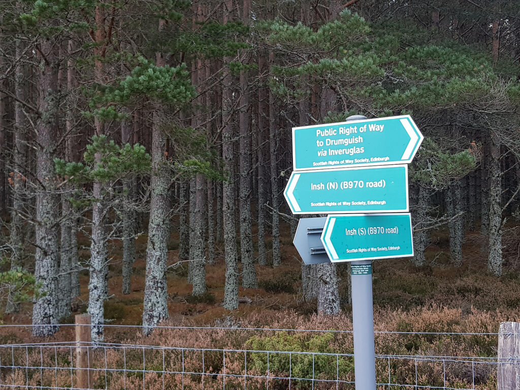
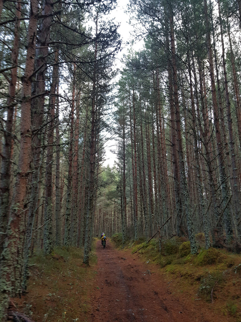
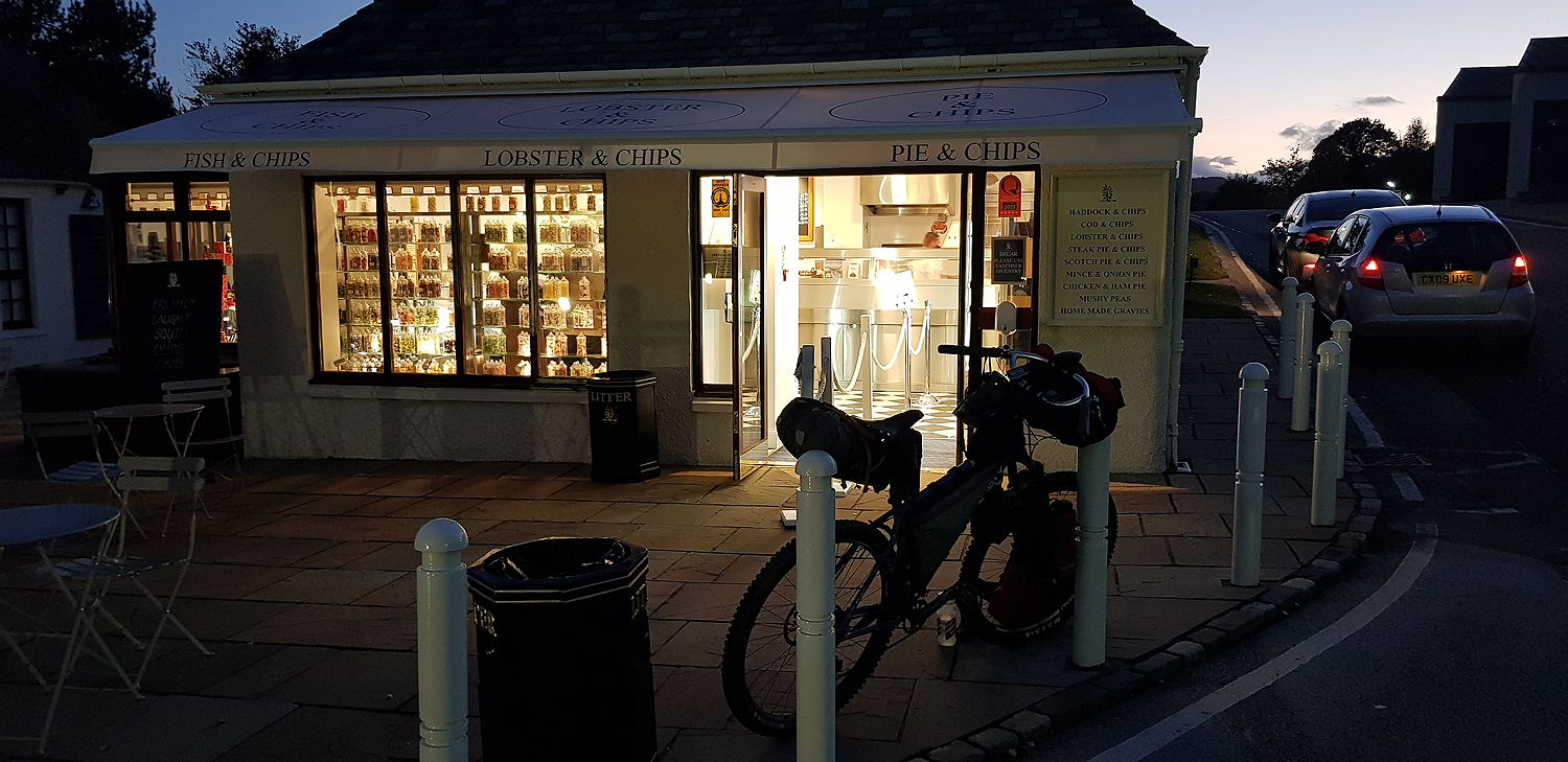
Feshiebridge to Blair Atholl via Domingo’s Road. Dictated by a northerly wind and showers on day one, I headed south to Blair Atholl, via Inshriach Forest, Drumguish, Glen Tromie and Gaick Lodge, where in 1800 a shooting party, perished in an avalanche, that destroyed their bothy. The trails were good for cycling, with a short section of single track at the high point (500m), passing Loch an Duin. As the sun set, the descent towards the A9 and NCR 7 was a delight on good estate tracks and roads with light or non-existent traffic. Evidence of a positive re-wilding programme is clear around Glen Tromie and Glen Feshie and the keepers I met were happy to share their knowledge of the work they are progressing. Famished at the House of Bruar, the open ‘Chippy’ gave a much needed meal, before finding a camping spot.
The behaviour of the Duke of Athole in denying public access led Hugh Miller to write in 1847: “There is scarce in the Kingdom a better-known piece of roadway than that which runs through the glen” and that “if the Scottish people yield up to his Grace their right of way through Glen Tilt, they will richly deserve to be shut out of their country altogether”.
Blair Atholl to Braemar Starting up the gentle gradient alongside the River Tilt, where fishermen, hillwalkers, cyclists and sometimes paddlers can enjoy this beautiful glen. Historically access had been an issue and the Battle of Glen Tilt even entered the rarified chambers of the House of Lords! As far as the Falls of Tarf, the cycling is manageable on a good estate track. It then becomes difficult single track above a steep bank. This leads to open moorland and a rough descending track, where, after two miles of portage I was able to saddle up again. The run down to the Lin of Dee is on a gradually improving track. Hardly ever as good as that in Glen Tilt. Be careful in heavy rain as there are a number of wide, braided rivers, which could prove troublesome to cross. From the Linn of Dee, take the minor road on the south side of the river, with only one sustained uphill section. Braemar has a wide selection of accommodation and another ‘Chippy’.
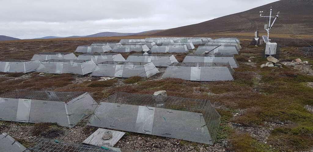
Braemar to Tomintoul The steepest and highest day. A short blast on the A93 to Invercauld and the altitude gain starts, after a pretty avenue of mature Beech trees. An old drove road begins and is signed north, up the hill, passing through mature forest. Peddle your loaded mountain bike if you can, or if like me, your preference is to push slowly upwards, enjoy the forest scenery. The track emerges onto bald heather hills, some up to 900m and continues upwards to 730m before relenting. Some peddling is possible! Hard work is immediately rewarded with a significant descent towards a short section of single-track, on the east bank of Loch Builg, followed by a good track to Tomitoul. At the high point check out some climate change research. The descending estate track follows the River Avon, whose source lies at 1160m on the Cairngorm plateau. Tomintoul is known as the highest village in the Scottish Highlands, but not the whole of Scotland. Historically famous for cattle theft and illegal distilling of spirits. Whisky is still important, along with tourism and nearby skiing at the Lecht. ‘Rustling’ was not evident on my visit! The main road (A939) can be closed by snow, in winter.
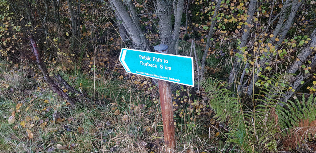
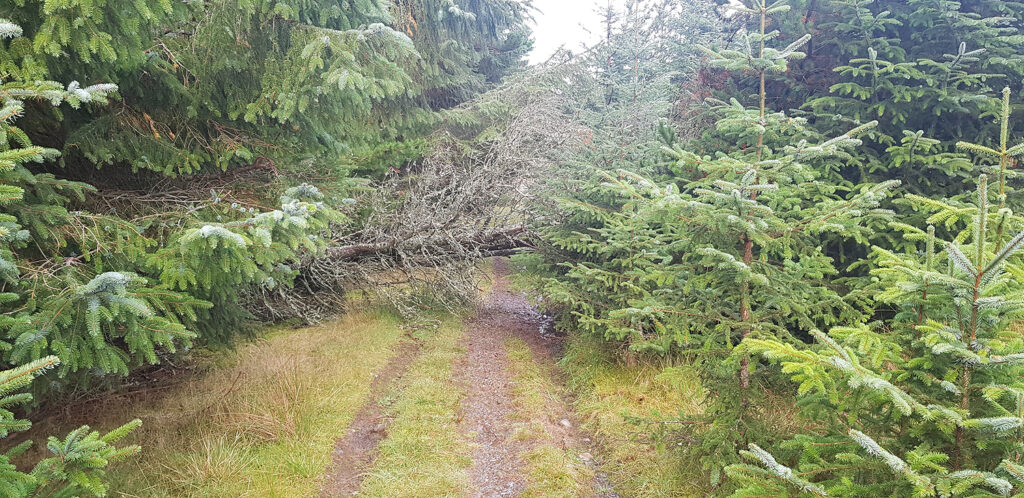
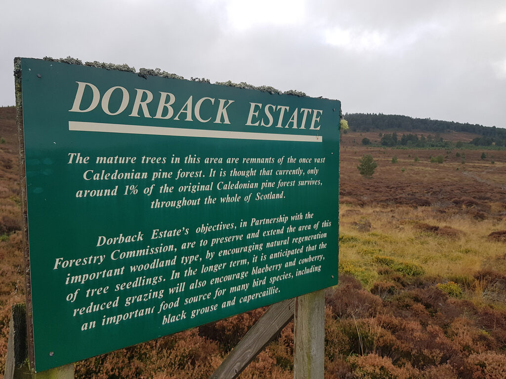
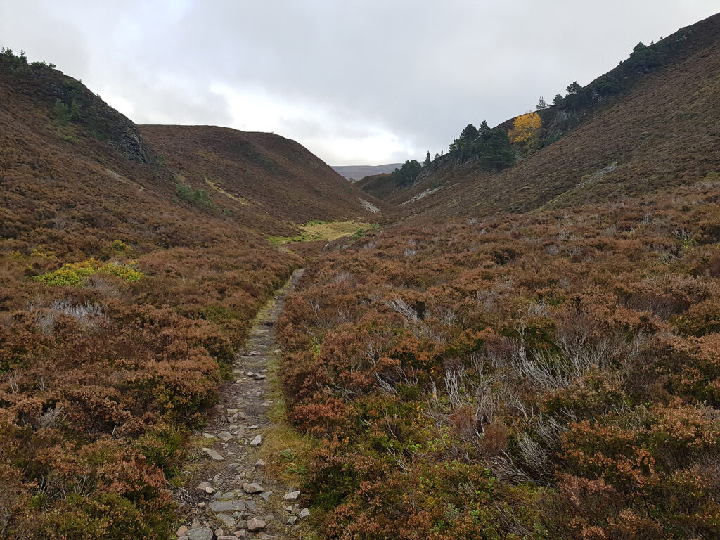
Tomintoul to Feshiebridge The final day was a mixture of varying terrain, including some short sections of single-track. Two miles N.W. of Tomintoul on the A939 and just after the Bridge of Avon, head S.W. towards Glen Brown. Fallen trees and flooded single-track, following the Burn of Brown, lead to open hillside and good tracks. Pass Dorback Lodge, before turning south, then west into Abernethy Forest, National Nature Reserve. Short sections of single-track continue on to good tracks and trails, plus some river crossings, over to Ryvoan Bothy and Glenmore Forest Park. From Ryvoan, the final part of the day is generally on well-manicured tracks and trails, amongst mature mixed woodland. A coffee and cake stop at Glenmore or Loch Morlich is essential. For me, Loch an Eilein and the NCR 7 led back to my start point, after four days of superb off-road (mostly) cycle touring.
]]>https://www.alankimber.com/2020/10/a-cairngorm-cycle-loop/feed/2Strava stuff
https://www.alankimber.com/2020/05/strava-stuff/
Sat, 23 May 2020 11:43:03 +0000https://www.alankimber.com/?p=10500The post Strava stuff appeared first on Alan Kimber Outdoors.
]]>